After a return to winter, another unsettled weekend lies ahead
We’ve been fortunate to catch a bit of a break from the wet weather over the last few days. Unfortunately, this respite looks to come to an end this weekend as a storm system approaches from the west.
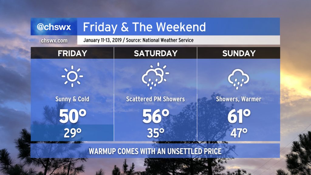
Friday
Friday will be the coldest day of the week (and, for that matter, of the young year) as we start the day in the upper 20s in many spots away from the coast as high pressure settles in to the north. Skies remain clear throughout the day, but temperatures will struggle into the low 50s despite full sunshine.
With forecast wind chills in the low 20s Friday morning, you’ll want to make sure the kids are bundled up well, with plenty of layers, before heading to the bus stop.
Saturday
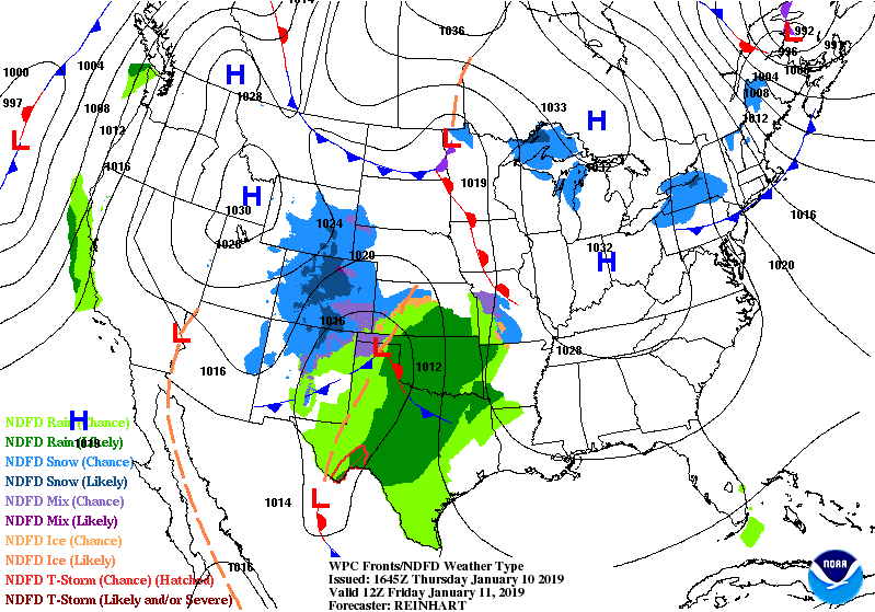
Source: NWS Weather Prediction Center
We’ll get off to another chilly start on Saturday with some freezing temperatures expected well inland. Temperatures will rise only into the mid-50s as high pressure wedges southwest between the Atlantic and the Appalachians, setting up some cold air damming in the Carolinas. As moisture rides atop this shallow layer of cold air, clouds will develop and keep temperatures suppressed. (Further north, it may not even get out of the 40s.)
Important note on forecast confidence: As we are going to be on the southern edge of the wedge, significant shifts in temperatures are possible over a short distance. Thus, I’d prepare for a colder day than 55° on Saturday, just in case.
By Saturday evening, the storm system gets closer to the southeast, and showers should break out within the wedge. Rain amounts will generally remain light as low pressure tracks to the north.
Sunday
Sunday is going to be the wettest day of the period as low pressure approaches from the west, dissipates, and transfers its energy to a new low pressure system that will develop off the Carolina coast. We nerds call this a “Miller-B” winter storm scenario. In these kinds of setups, we stay on the warm edge of the storm, and our precipitation remains fully liquid. As low pressure moves closer to the Carolinas, the wedge will begin to erode from south to north, allowing temperatures in the Lowcountry to warm into the low 60s. This comes with a price: Expect showers over much of the area for much of the day as the storm system makes its closest approach.
Precipitation Impacts

The good news is that we are not expecting a big soaking rain from this storm (for a change). The heaviest precipitation is going to take aim on northern SC, much of NC, and the Mid-Atlantic states, where winter weather looks to become a factor as well. (Western NC could be looking at an ice storm. Gross.)
Generally, amounts should be between a quarter-inch to the southeast (including the Charleston metro) to a half-inch inland (closer to Lake Moultrie and I-95). Locally heavier rain totals are possible.
We remain rather soggy so far this winter, with a 6.10″ surplus since December 1. Fortunately, light rainfall amounts and normal astronomical tides should cooperate to preclude a flooding threat in downtown Charleston and along the coast.
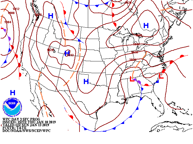
Beyond the weekend…
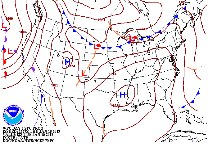
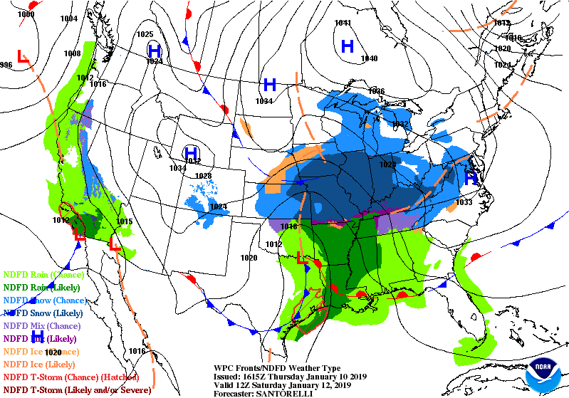
Source: NWS Weather Prediction Center
Showers will depart the area by Monday and high pressure will build back in for the following week, yielding clear skies. Expect temperatures at or below normal as a cold shot of air takes aim on the area Tuesday into Wednesday, with warming by the end of the work week.