One more Augtober day
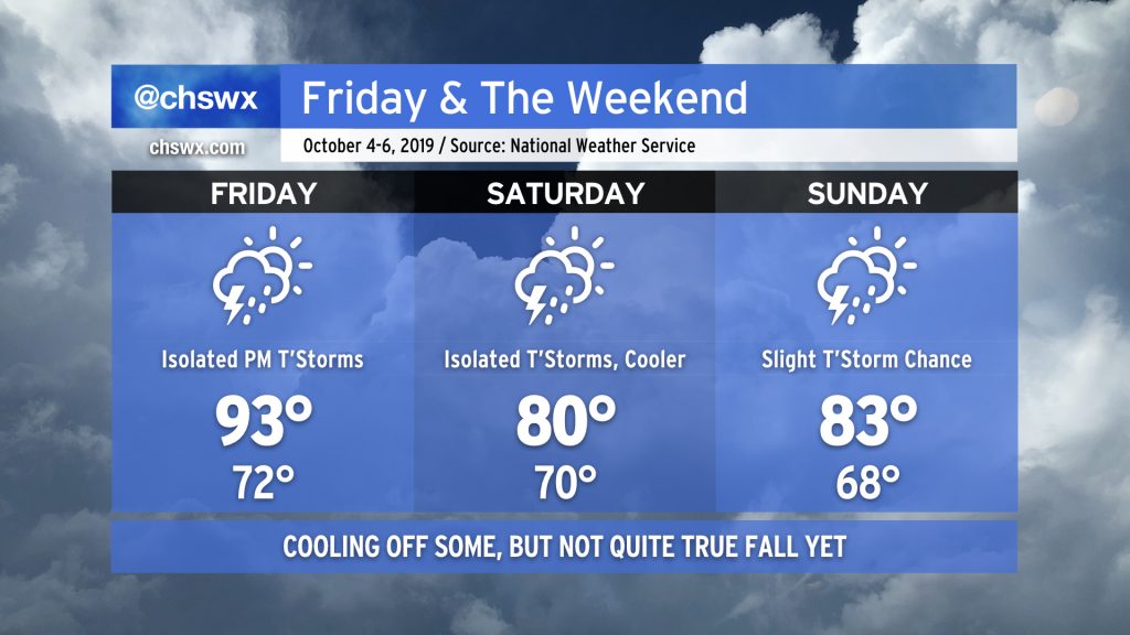
We’ve just got one more sweltering Augtober day left before a backdoor cold front swings through the area, cooling us off for the weekend. This will come with a little bit of much-needed rain, too, but don’t expect a washout. After that, another frontal system will usher in a little bit more Fall weather.
First front: Saturday
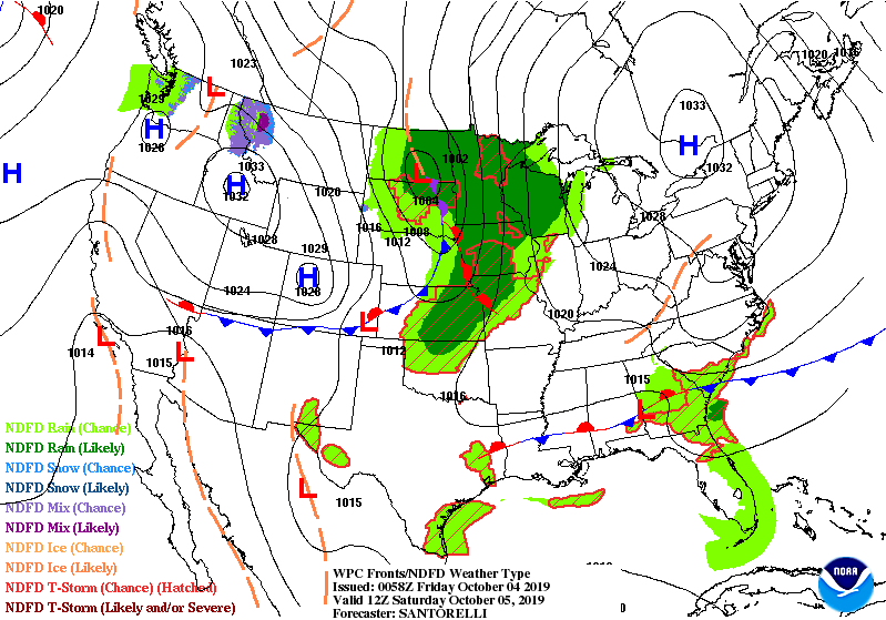
Our first shot of relief comes in the form of a backdoor cold front which will sink south across the area during the early part of the day on Saturday. This will bring another chance for some scattered showers and thunderstorms — certainly some much-needed rain as we teeter on the edge of drought.
This front will be good for knocking temperatures down about 10 degrees. It won’t totally dry things out, though, as a fairly moist airmass looks to remain in place behind the front. A coastal trough is expected to develop and keep shower chances around through the weekend. No washout is expected, and I think any rain will be fairly welcome at this point, but if you do have outdoor activities, be thinking about your Plan B.
Second front: Monday into Tuesday
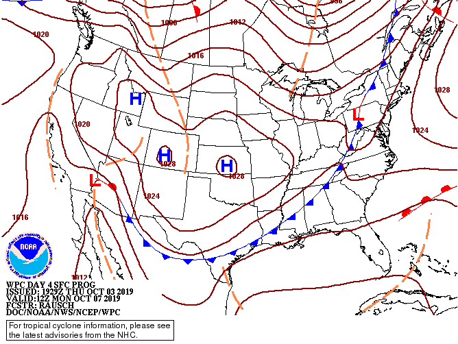
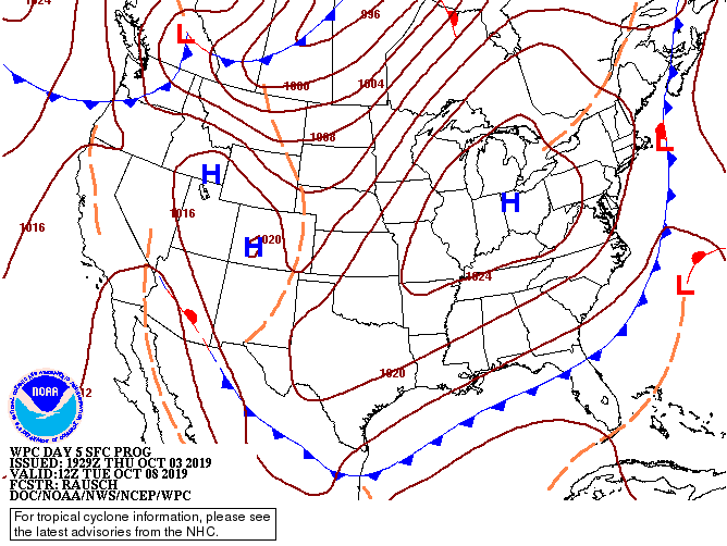
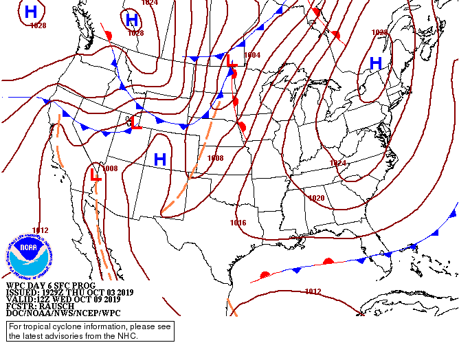
A second cold front will approach the area early in the next work week. After highs rebounding into the mid-80s for Monday, this next cold front will knock temperatures back closer to normal for the rest of the week. We’ll see some showers again on Tuesday before drier air works its way into the area for Wednesday and beyond. This will be some of the coolest air of the season, with lows flirting with the upper 50s and highs not getting out of the upper 70s starting Wednesday.
Drought update

It’s been 19 days now since we’ve had any measurable rainfall at the airport, and that streak may continue for at least one more day. This is the longest streak so far this year, and it comes at a time where the rainfall deficit is really starting to pile up again.
If it weren’t for Hurricane Dorian, it’s likely that we would be seeing drought develop across the Charleston metro. The Drought Monitor illustrates pretty clearly where Dorian’s impacts weren’t felt — areas of extreme drought are developing just to the west of I-95, with extensive Severe Drought areas into the Midlands.
Tropical update
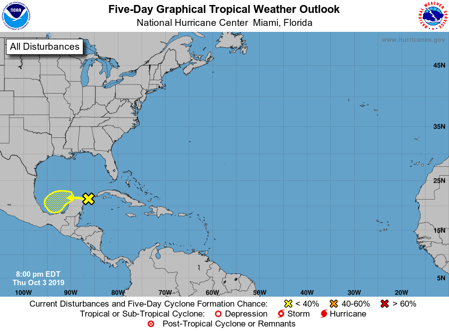
After a raucous September, things have calmed down quite a bit in the tropical Atlantic. There’s just one area of concern that has a very tiny chance of developing into a tropical cyclone somewhere in the Bay of Campeche in the next five days.
It’s nice to get a breather, but we still have a couple months of season left. Hang in there, it’s almost done.
If another storm is named, it would be called Melissa.
Follow my Charleston Weather updates on Mastodon, Bluesky, Instagram, Facebook, or directly in a feed reader. Do you like what you see here? Please consider supporting my independent, hype-averse weather journalism and become a supporter on Patreon for a broader look at all things #chswx!