The week ahead: An end in sight to Eternal August

Our abnormally warm and dry September will roll into the first few days of October as strong high pressure aloft remains anchored over the southeast U.S.
Changes are coming, though, and I suspect many of you will be OK with them.
Rain chance on Monday
It won’t be much, but as a cold front sinks south into the area on Monday, there will be a chance for a few showers and thunderstorms to develop out ahead of it. With a decent amount of moisture in place, a lucky few may see a downpour or two. Unfortunately, the weak nature of the front will keep showers and storms few and far between.
We could use the rain. It’s been 15 days since our last recorded rainfall at the airport, which ties the period from April 20-May 4 for the longest streak so far this year. (More on this a little later.)
Warmth ahead of our next front
We’ll get a little reprieve from the heat and humidity on Tuesday in the immediate wake of the Monday front. However, temperatures will rebound back toward the 90s once again come Wednesday, and will stick around the 90s through Friday.
Late in the day Friday, a cold front will begin to approach the area from the north. Timing of the front is tough to pin down this far out, but the current NWS forecast is for any rainfall associated with said front to occur early Saturday morning. Right now, plan on Friday being another dry day, but watch for timing changes with the upcoming front to potentially disrupt that a bit.
Cooling off for the weekend
The cold front will be clearing the area on Saturday, leaving cooler and drier high pressure in its wake. (Hooray!) High temperatures will top out in the low 80s both Saturday and Sunday, making for much more normal-feeling weather.
We’ll want to keep an eye on Sunday afternoon for the potential for a few showers, particularly near the coast, as a coastal trough develops nearby and shifts westward.
The good news: It looks like the cooler temperatures will be sticking around a little while longer than what we saw a couple weeks ago.
Tidal flooding threat continues
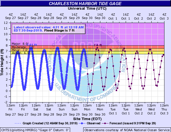
Finally, we continue to face the risk for salt water flooding at times of high tide through mid-week. These tides may close roads, particularly with the mid-morning high tides. Listen for Coastal Flood Advisories from the National Weather Service, and be ready to find alternate routes.
Monday’s high tides will occur at 9:53am and 10:09pm.
A warm and dry September comes to a close

Barring any unexpected changes on Monday, for the second consecutive year (and the third time in the past four) we’ll be setting another top-five warmest September on record at the airport with an average temperature of 79.2°. Had it not been for Hurricane Dorian, we may very well have come in a little warmer.

It’s the same story with precipitation. Depending on how much rain falls on Monday, we’d have a top-five driest September on record had it not been for Hurricane Dorian. Outside of the hurricane, we have only recorded 0.61″ of rain at the airport this month.
Where the hurricane did not have as much of a rainfall impact, moderate to severe drought has begun developing (generally along and west of I-95). I expect that if this dry weather continues, we will start to see some drought begin to creep back into our neck of the Lowcountry.
I’ll have final numbers on Tuesday, once September 30’s climate data is all said and done.
Warmer-than-normal weather remains likely
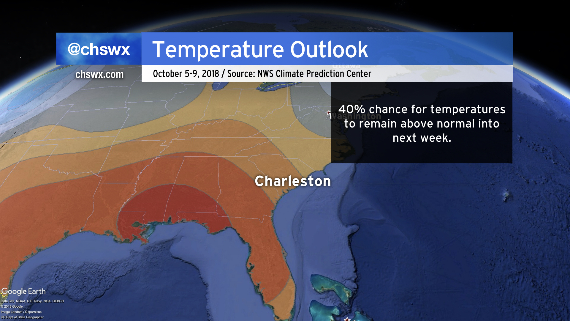
The pattern looks to trend a little more active in October, especially as we start getting into the heart of the month. Warmer-than-normal temperatures are expected to continue this weekend into next week, though keep in mind that as we get deeper into the season, what constitutes “normal” gradually becomes cooler.

Looking at climate data from the airport, we see that it is not out of bounds to see 90s well into the middle of the month, but that on average, high temperatures will trend downward from an average of around 81° to start the month to 74° to close it out. Keep this in mind when you hear “above normal temperatures” — it doesn’t necessarily mean that we’re going to get blowtorched.
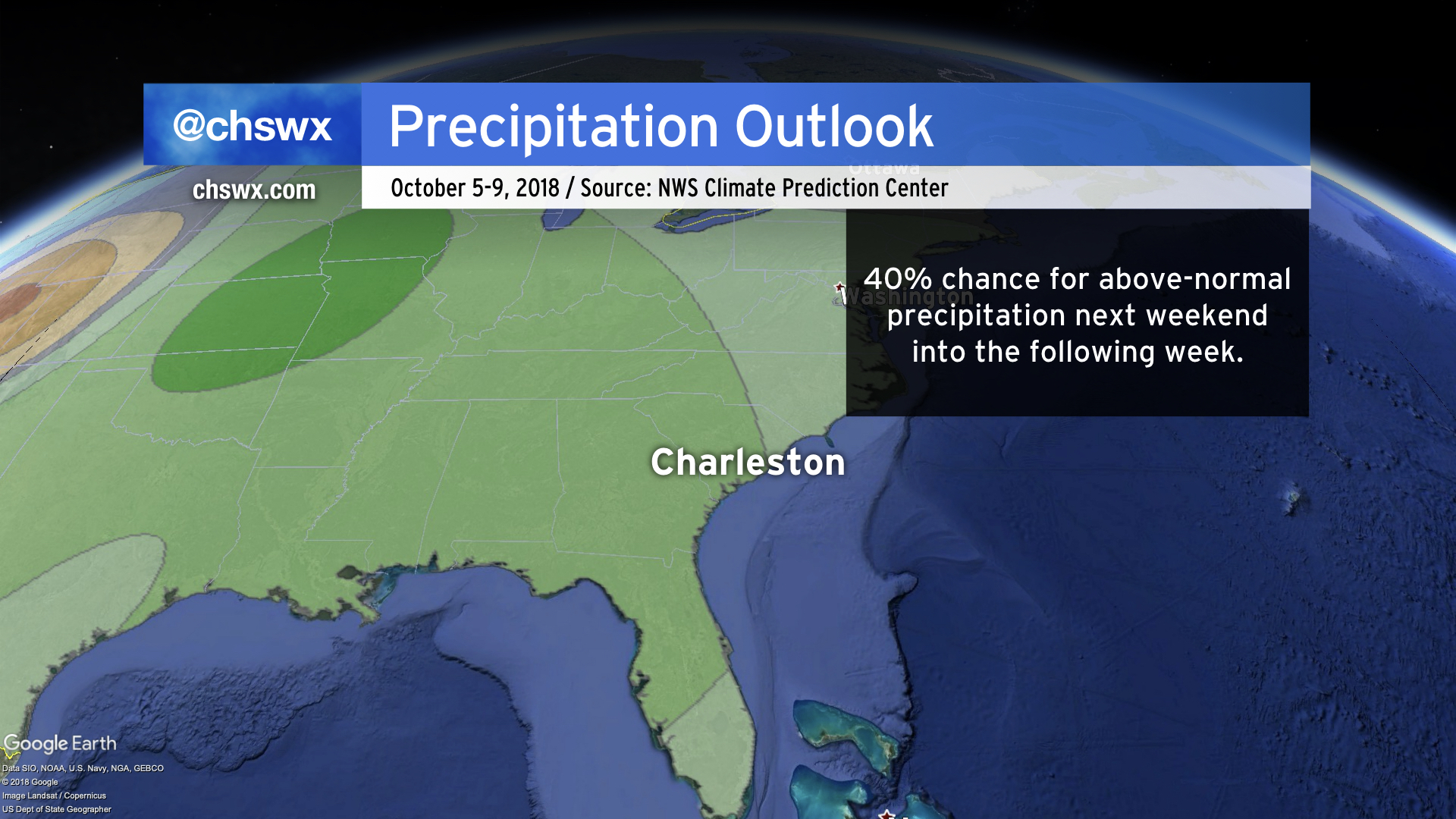
If you’re wanting to see some more rainfall — and a lot of you do — a more active pattern may provide more chances of rain next weekend into the following week. October is typically a dry month, so once again, take “above-normal” with a grain of salt here, but we’ll take pretty much anything at this point. Models do hint at a strong frontal passage next Monday into Tuesday which could squeeze out some decent rainfall, but it’s much too early to nail down specifics on that.
Tropical update
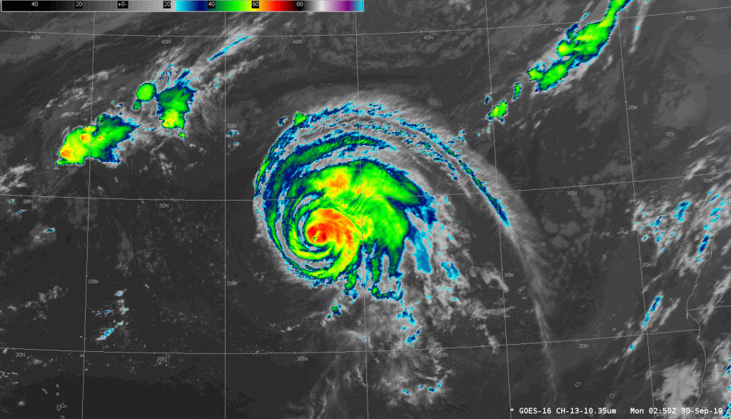
Hurricane Lorenzo continues to churn out in the Atlantic. After setting a record for the furthest-east storm attaining Category 5 intensity Saturday night (beating out a storm you may have heard of: Hugo), it is back down to a Category 2 storm as it bears down on the Azores in the next couple days. It’s a very large hurricane, with tropical storm force winds extending 255 miles from the center. It’s not out of the question that some waves from Lorenzo could make it all the way to the east coast of the US, either. Other than that, though, it is no threat to our weather.
Elsewhere in the tropics, things are mostly quiet. However, while not officially outlined by the National Hurricane Center as of this writing, a few models are trying to sniff out a possible tropical system in the Caribbean in the coming days. (We’ll see if this ultimately comes to pass.)
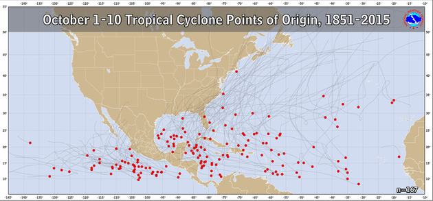
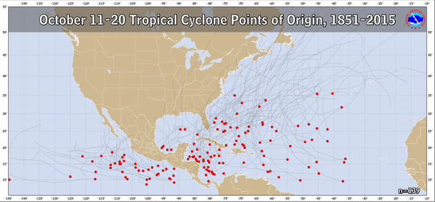
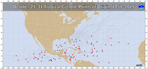
As we head deeper into October, we will find that most threats from tropical cyclones will increasingly come from the Caribbean and Gulf of Mexico as water temperatures in the eastern Atlantic begin to cool off and upper-air patterns become less favorable for any storms that form in the Atlantic to make the trek all the way to the East Coast.

Our next named storm would be called Melissa.
Bottom line
- Summer-like weather will continue to start October.
- A late-week frontal system will provide a nice cooldown, with temperatures near normal this weekend.
- Rain chances continue to be scarce this week. There is perhaps a better chance of showers early next week, but details are sketchy at best.
- Continue to watch for the potential for coastal flooding through mid-week.
Follow my Charleston Weather updates on Mastodon, Bluesky, Instagram, Facebook, or directly in a feed reader. Do you like what you see here? Please consider supporting my independent, hype-averse weather journalism and become a supporter on Patreon for a broader look at all things #chswx!