A standard summertime Tuesday ahead as we watch Potential Tropical Cyclone Six

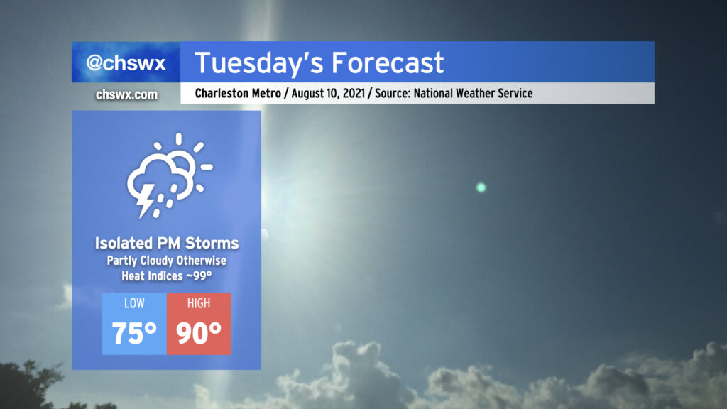
Tuesday promises another day of isolated showers and storms along and ahead of the seabreeze as highs top out right around 90°. Humidity will make it feel a little closer to 99-100° as the seabreeze moves past during the afternoon. Otherwise, there’s not too much to write home about as ridging of high pressure aloft and at the surface persists.
Potential Tropical Cyclone Six advisories begin

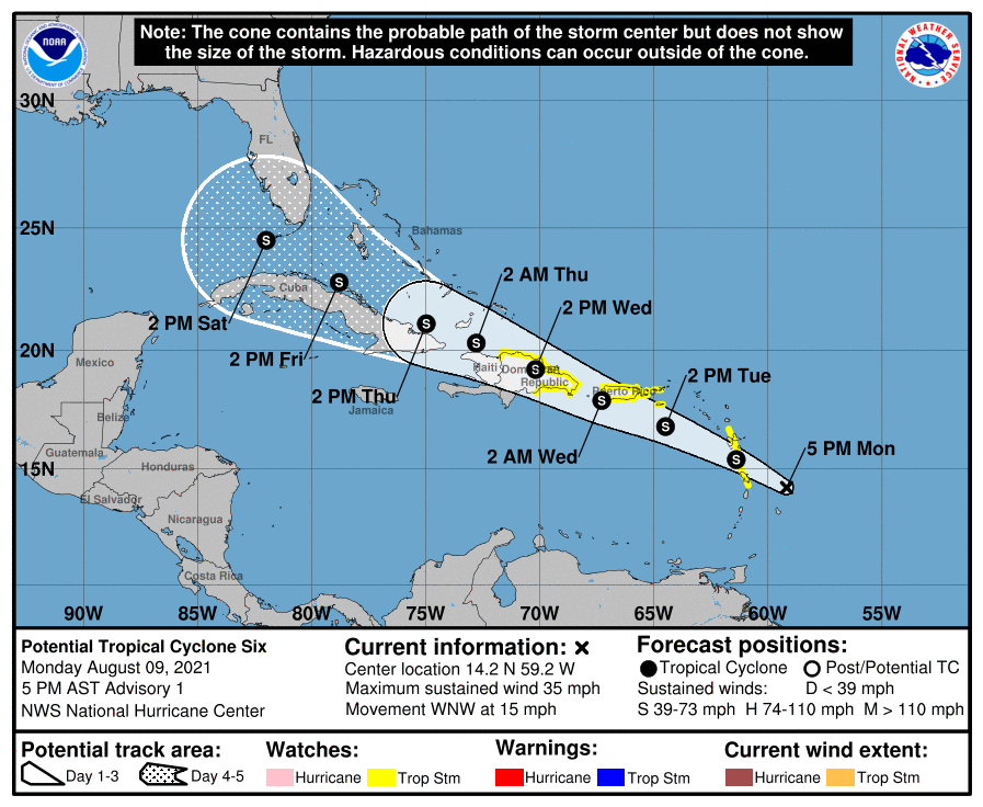
The National Hurricane Center has designated Invest 94L as Potential Tropical Cyclone Six, with the expectation that it will form a closed circulation and develop into Tropical Storm Fred later tonight. Tropical Storm Watches are in effect for the northern Lesser Antilles, Puerto Rico, and the Dominican Republic as it moves west-northwest at 15 MPH.
Six/future Fred has a rough road ahead of it full of mountainous land interaction. It’s just not clear how well it will hold up across the Greater Antilles as we get into later in the work week. The NHC forecast keeps it generally around minimal tropical storm strength through Saturday as it approaches the Florida Keys.
With a track like this, Six/future Fred will be a storm to keep an eye on periodically throughout the week. Right now, the NWS seven-day forecast assumes a little more tropical moisture in the area toward Sunday and Monday and adjusts rain chances upward appropriately. It remains very unclear what shape the storm will be in by the time it reaches our longitude over the weekend. Bottom line: It’s one to watch, for sure, but not one to get overly concerned about right now, either.
Follow my Charleston Weather updates on Mastodon, Bluesky, Instagram, Facebook, or directly in a feed reader. Do you like what you see here? Please consider supporting my independent, hype-averse weather journalism and become a supporter on Patreon for a broader look at all things #chswx!