Tuesday: Seasonable warmth, mostly sunny skies; next rain chance Wednesday

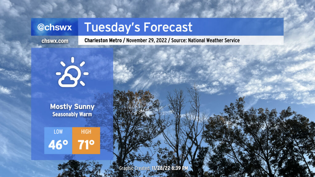
Quiet weather continues for Tuesday before rain chances return for Wednesday as a cold front comes through. Temperatures on Tuesday start around normal in the mid-40s and will rebound nicely into the low 70s in the afternoon. Winds will be calmer, making that outdoor lunch a little easier, too. Overall, no complaints for Tuesday (weather-wise, anyway).

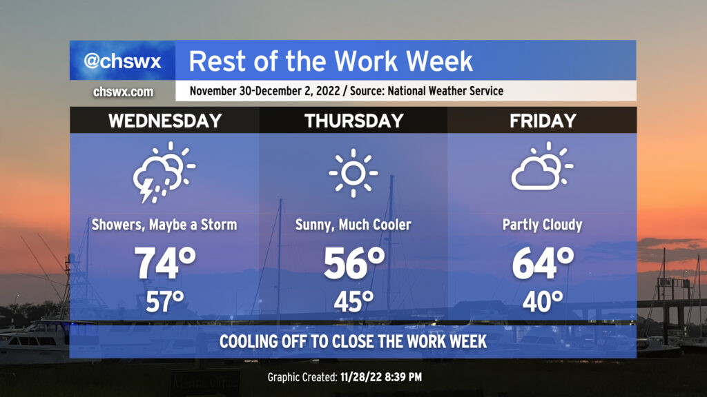
The front approaches the area Wednesday. Increasing southerly winds will drive warmer air into the area — we’ll start Wednesday about 10° warmer than we did Tuesday. Highs will top out in the mid-70s ahead of what’s expected to be a line of showers and thunderstorms that is most likely to get through in the late morning/early afternoon hours, though showers will be possible from roughly sunrise on. While a few rumbles of thunder are possible, the line of storms will be weakening with time, and with negligible instability, the risk for severe weather in the Lowcountry is very low. The line of storms should clear the area by evening, and cooler and drier air will follow overnight.
Cold high pressure building in from the west and the northerly winds coming with it will make for a much cooler day on Thursday, with highs only topping out in the mid-50s despite full sunshine. With ridging building in aloft, though, the core of the coldest air stays to our north, and so we only drop to around 40° to start Friday. Highs rebound into the mid-60s, which is right around normal for this point in the year. A developing coastal trough will contribute to a little more cloud cover on Friday, but rain-free conditions are expected to continue into the weekend along with a rebound in temperatures back to the low 70s.
Follow my Charleston Weather updates on Mastodon, Bluesky, Instagram, Facebook, or directly in a feed reader. Do you like what you see here? Please consider supporting my independent, hype-averse weather journalism and become a supporter on Patreon for a broader look at all things #chswx!