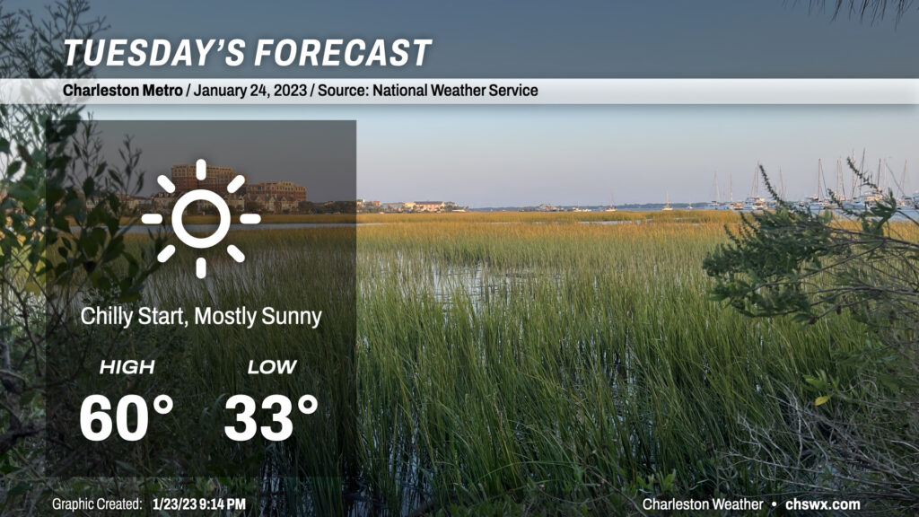
Tuesday: Starting out chilly but plenty of sun

There’s not too much to write home about in the weather department for Tuesday. We’ll get off to a near-freezing start in the metro area, with temperatures dipping below 32° further inland as well as in more rural spots. Plenty of sunshine, though, will help drive temperatures to around 60° in the afternoon. Overall, a bright, brilliant late January day.
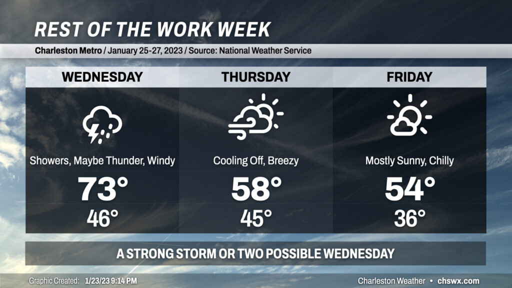
Rest of the work week: Stormy Wednesday, then turning cooler

High pressure slips away Tuesday ahead of a rather dynamic storm system that arrives in our neck of the woods on Wednesday. It’ll be breezy with gusts pushing 30-35 MPH, and showers are a good bet, especially in the afternoon as the front gets closer. A few thunderstorms aren’t off the table, either, and there’s a chance that a couple of those could be on the strong side. As is often the case, the shear is plentiful but the instability lacking, which always adds uncertainty into the mix. Stay tuned to forecast updates as the details come into focus.
The aforementioned cold front swings through late Wednesday/early Thursday, clearing us out and cooling us off. Breezy conditions can be expected to continue on Thursday as cold air moves into the area. Winds calm down some for Friday, but it’ll overall be a decently chilly day (even for late January) with lows in the mid-30s and highs in the mid-50s, which is about 5° or so below normal for this point in the year.
Follow my Charleston Weather updates on Mastodon, Bluesky, Instagram, Facebook, or directly in a feed reader. Do you like what you see here? Please consider supporting my independent, hype-averse weather journalism and become a supporter on Patreon for a broader look at all things #chswx!