Thursday: Off & on storms continue with localized downpours
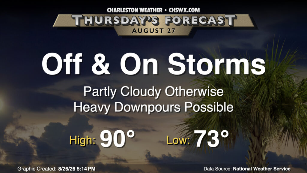
Thursday’s weather setup will be similar to what we saw on Wednesday with scattered to numerous thunderstorms affecting some spots while the sun peeks out elsewhere. Temperatures will start in the low to mid-70s once again, warming to around 90° in the afternoon — just a smidge above normal for late August. The severe weather risk is low, but once again, a storm or two could produce gusty winds. There is also the risk for flooding given slow storm motions and potential training of rain across the same spots, so stay alert as you get out and about tomorrow.
Friday & the weekend: Staying unsettled; flood threat increases
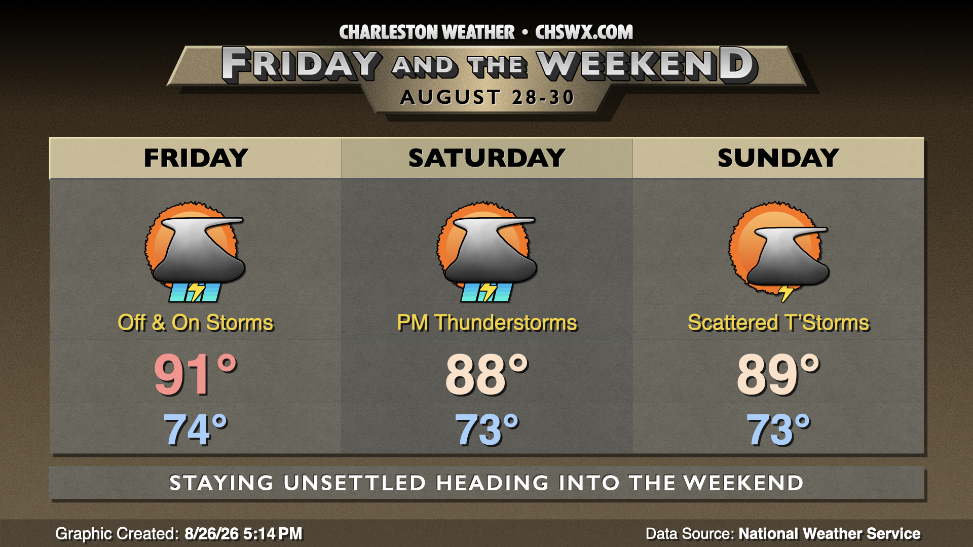
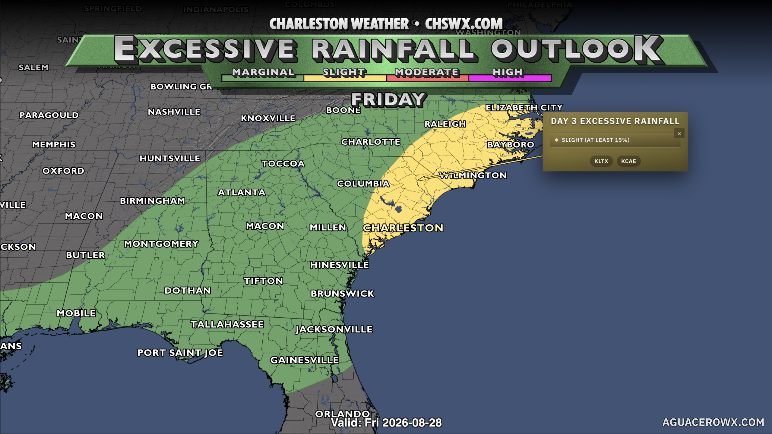
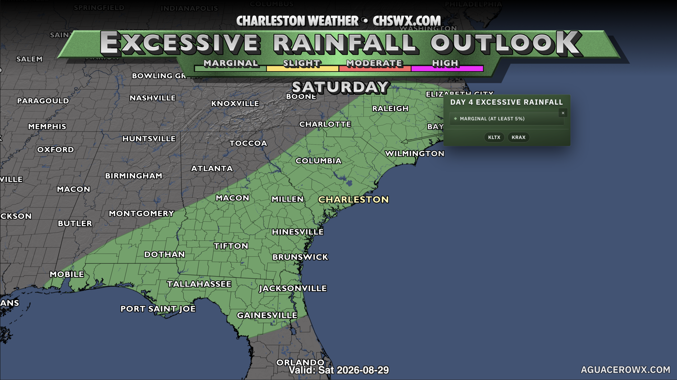
A front to the west will advance on the area for Friday and the weekend, stalling out nearby. This will continue to provide a focal point for shower and thunderstorm activity in addition to the usual seabreeze storms. Storms will be most likely in the afternoon and evening hours, but will be possible at any point. The severe weather risk remains low, but the risk for flooding continues, particularly on Friday where more widespread rain seems likely. Temperatures will continue to run generally around normal; expect low 90s Friday before thunderstorms keep highs in the upper 80s Saturday. Coverage should diminish some for Sunday, especially if the front can nudge offshore; this will help keep highs in the upper 80s to around 90° once again.
Tropics: Disturbance in the Atlantic churns westward
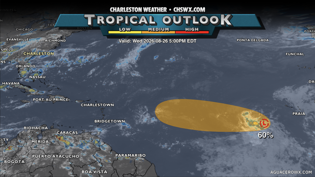
The National Hurricane Center is continuing to watch a disturbance in the eastern Atlantic, dubbed Invest 96L, for possible tropical formation as it continues to move westward. The risk for development has actually diminished slightly since last night, with NHC now giving it 60% odds to develop over the next few days. 96L continues to proceed into a hostile environment for tropical cyclones given strong shear, and many models don’t give it much of a chance to get going. The models that do seem to be outliers, and the overall consensus is that the storm will have a tough time getting organized. It’s still very early, though, and we will keep watch as it trudges westward.
Follow my Charleston Weather updates on Mastodon, Bluesky, Instagram, Facebook, or directly in a feed reader. Do you like what you see here? Please consider supporting my independent, hype-averse weather journalism and become a supporter on Patreon for a broader look at all things #chswx!