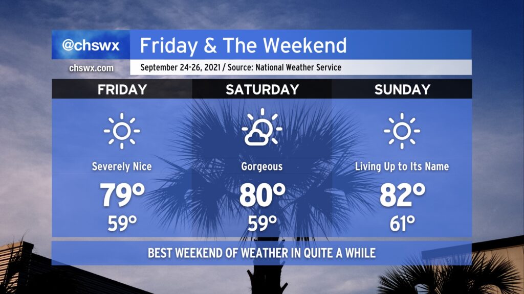
We’ve earned it: A beautiful weekend is imminent as the first really solid shot of fall weather, ushered in by a cold front that swung through late last night, continues for the next several days. Lows look to bottom out in the upper 50s for the first time since June 1, and we likely will top out right around 80° under full sunshine. Similar conditions, with perhaps a few more clouds, continue into Saturday. Sunday will certainly live up to its name, with temperatures beginning to moderate ever so slightly back to the low 80s with continued low humidity.
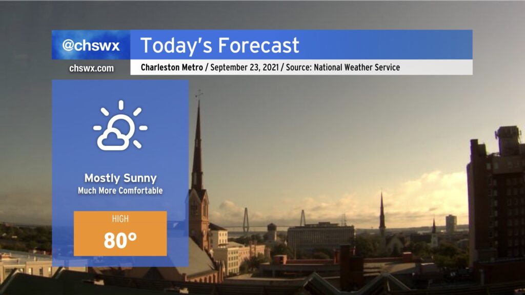
Beautiful day ahead in the wake of a cold front which swept through last night. Cooler, drier air will filter in throughout the day, and highs should only top out around 80° as a result with low humidity and copious amounts of sunshine. Pretty fantastic.
This will begin a bit of a weather winning streak for us, with tranquil and comfortable conditions continuing well into next week. Enjoy!
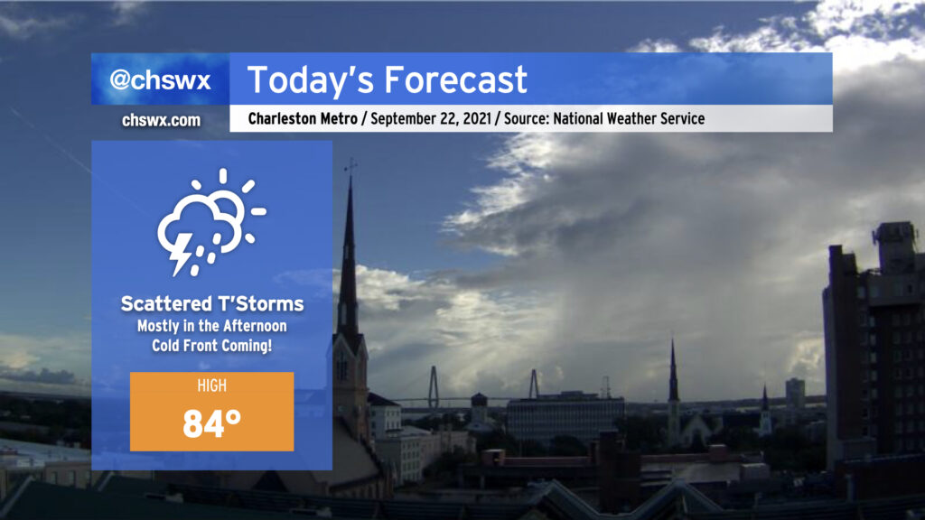
We have one more warm and muggy day ahead with a scattering of showers and thunderstorms ahead of a cold front; once this front gets through tonight and into tomorrow morning, conditions will take a turn for the awesome to close out the work week and head into the weekend. For today, though, keep rain gear handy. It won’t rain all day but if it does, it could be briefly heavy. (At least we’re getting some sun this morning!)
Astronomical fall begins this afternoon at 3:21 PM — it will certainly feel a lot like this after today. Looking forward to it!
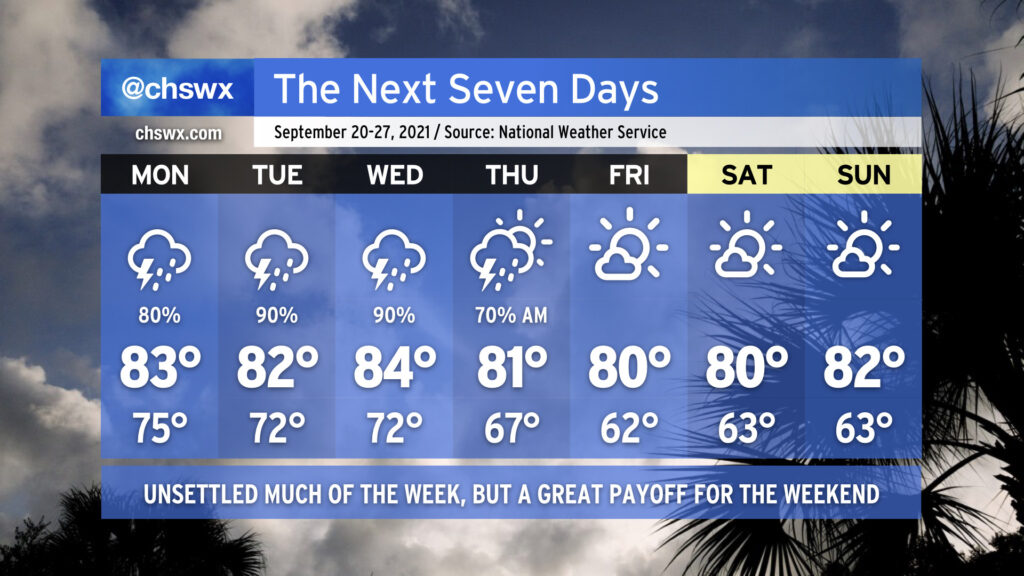
Periods of heavy rain will remain possible overnight into Tuesday as we remain within a little firehose of moisture funneling between high pressure to the north and low pressure to the south. At 5PM, the airport had recorded 1.47” of rain and downtown had received .80” with more to come. (It wasn’t as bad as Savannah, though, which has recorded almost 6” of rain just today, shattering a 136-year-old record.)
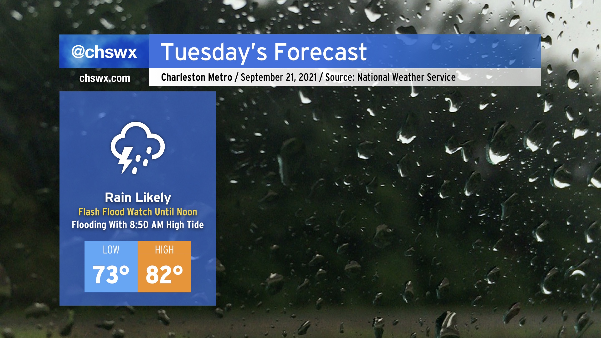
A Flash Flood Watch continues until noon Tuesday, though if wetter trends continue this could be extended further into the day. Of most concern is the 8:50 AM high tide, which may top out between 7.2-7.4’, already well within minor flood stage. Salt water on a few roads is a given; we’ll need to see what kind of rain is in the area Tuesday morning to determine whether additional water piles up on top. Either way, expect another soggy day with another 1-2” of rain in the forecast, with locally heavier amounts. Temperatures will once again be held down into the low 80s at best given copious amounts of cloud cover and rainfall in the area.
Salt water flooding will continue to be an issue over the next few days, with another bout expected around the 9:18 PM high tide Tuesday night and then again with Wednesday morning’s high tide around 9:31 AM. Keep attuned to coastal flood advisories from the National Weather Service.
Let’s start with the good news: Cooler, drier, fall-like air is coming this weekend. It’s going to be gorgeous. Plan your outdoor activities appropriately.
To get there, though, we need to get through a few soggy days with a risk of flooding, both of the tidal and freshwater (rainfall) variety.
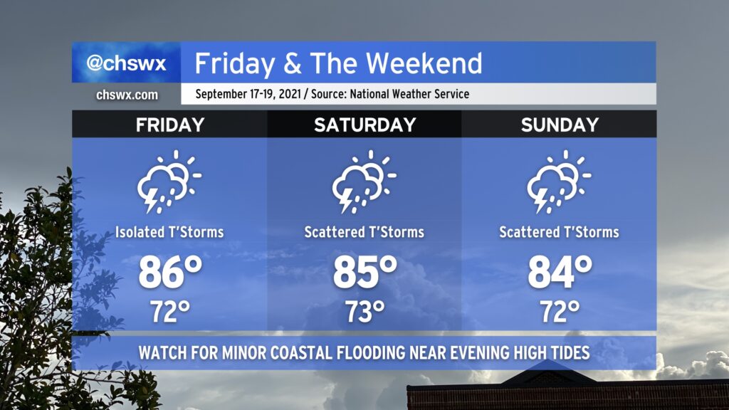
We will remain in a warm and muggy regime on Friday into the weekend as tropical moisture remains in place over the area. We should see a little less shower and storm coverage on Friday as compared to today without much in the way of forcing, but a few airmass thunderstorms will be possible especially ahead of the seabreeze. Saturday looks similar right now as forcing mechanisms remain few and far between. Heading into Sunday, though, upper-level energy will rotate into the area, and this should help enhance shower and thunderstorm coverage especially in the afternoon and evening hours. A total washout is not in the cards, though, so don’t go torching your weekend plans — just keep an eye on the forecast as there will be adjustments and fine-tuning throughout the weekend.
Temperature-wise, we’ll remain generally in the mid-80s each afternoon after starting out in the low 70s each morning (with perhaps some upper 70s to around 80° lows close to the coast, including downtown). Temperatures should be knocked down a peg for Sunday given more expansive cloud cover and shower and thunderstorm activity in the region.
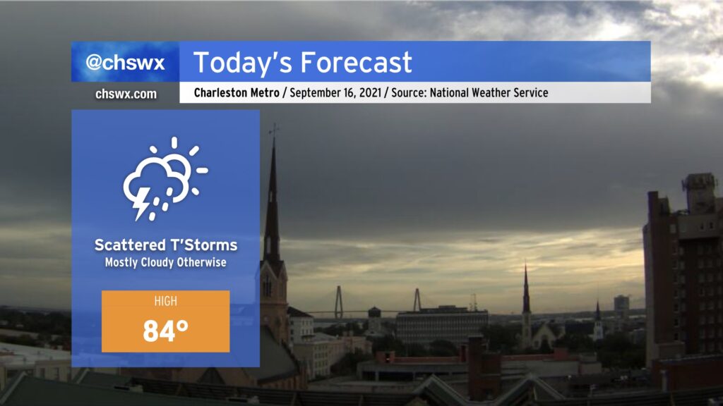
Stay ready for scattered showers and maybe a couple thunderstorms today as the remnants of Nicholas, well to the west, sling some moisture our direction. Cloud cover will keep temperatures down in the mid-80s, but mix in the humidity and it’ll still feel like the low 90s. Watch for a brief downpour or two at times, but widespread heavy rain is not looking likely this far to the east.
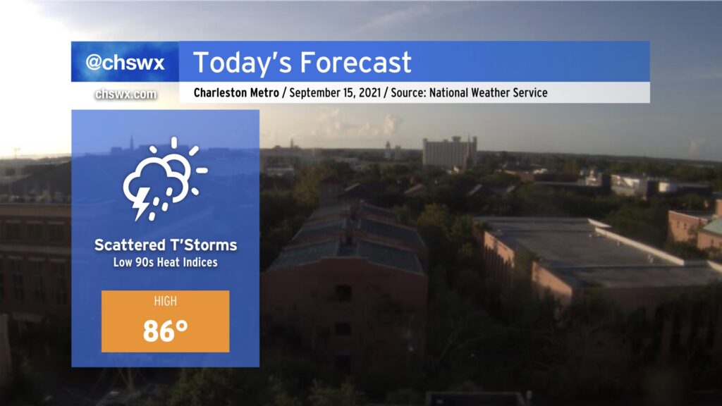
Today will have a really summer-like feel to it. We’ll see isolated to scattered showers and thunderstorms across the area pretty much all day, with the best risk closer to the coast (and Charleston proper) beginning late morning into early afternoon, then steadily moving inland with time. Not everyone sees rain today, but a brief downpour can’t be ruled out pretty much anywhere.
Temperatures will top out in the mid-80s. Factor in dewpoints in the low 70s and that will yield heat indices in the low 90s. Not terribly oppressive by Charleston standards (or even abnormal, really), but yes, it gets to wear on you by mid-September.
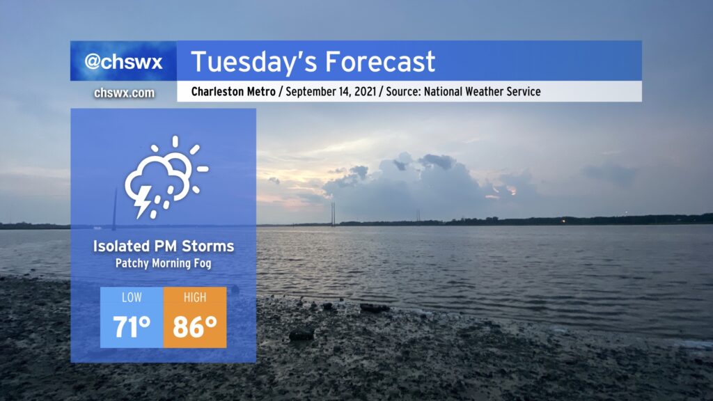
Dewpoints are headed up, and that will bring along a slight chance of thunderstorms for Tuesday afternoon, primarily along and ahead of the seabreeze boundary as it moves inland. We’ll start the day in the low 70s across much of the area before temperatures head into the mid-80s in the afternoon. It won’t be sweltering, but it won’t exactly be fall-like, either.
It’s worth noting that we could see some patchy fog in spots tomorrow morning. Be ready for sudden changes in visibility during the commute, and don’t forget the low beams if you do encounter fog.