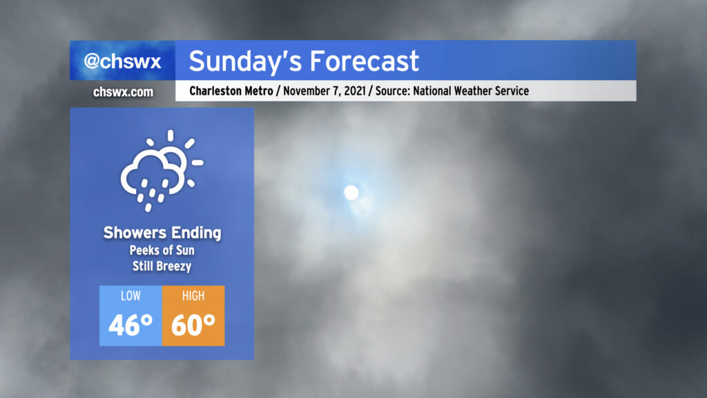
Our weather takes a positive turn Sunday as the coastal storm moves northeast and away from the area. We will see some showers hanging around in the morning, but these will depart as the morning goes on. Expect the sun to begin peeking through by afternoon before sunset at 5:24 PM. (Don’t forget to set your clocks back an hour tonight!)
Temperatures will thankfully respond to the sunshine as well, with highs around 60° in the afternoon. (The normal high for November 7, though, is 72°.)
Winds will remain breezy, with gusts to 30 MPH still a possibility as we remain within a very tight pressure gradient between high pressure to the west and low pressure to the east. Use extra caution on bridges and overpasses once again tomorrow.
There will be a risk for minor to moderate for tidal flooding Sunday morning. Water levels could approach about 7.5′ with the 9:34 AM high tide. Be ready for a few road closures, though certainly nothing to the extent that was seen this morning when the water level peaked at 8.44′, good for 11th highest on record at Charleston Harbor.
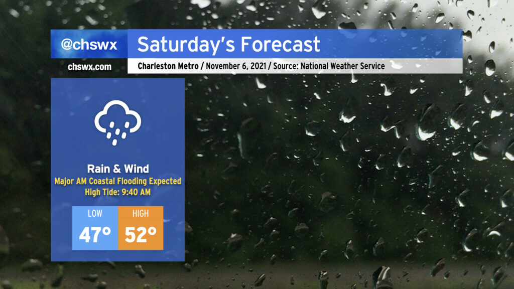
Saturday’s gonna be a meteorological mess, it appears. A coastal storm, which has been trending more westward in modeling, is expected to develop tonight and move parallel to the coast during the day Saturday. This is going to bring the potential for periods of heavy rain, gusty winds (with gusts 30-40 mph possible particularly near the coast), and a forecasted top-10 tide in Charleston Harbor during the morning hours.
High tide on Saturday morning is currently forecast to peak between 8.5-8.7′ in Charleston Harbor. This would be good enough for at least tenth on record at the harbor, and would be the highest tide since the water level reached 8.76′ on November 24, 2018. This will introduce significant salt water flooding across downtown Charleston, resulting in numerous road closures. It’s also possible that we will see road closures along Long Point Rd. in Mt. Pleasant and Harborview Rd. on James Island. The tide is forecast to peak at 9:40am, but with these events, there’s often a little lag, so it may peak later. Expect floodwater 2-3 hours either side of high tide.
Guidance continues to hit on the potential for rain to be in the area around this time of high tide, which could make the situation even more dicey. One other thing to keep in mind is that there will be a round of minor tidal flooding on Saturday evening, as well. Some simulated radar products bring some of the heaviest rain into the area Saturday afternoon, ahead of high tide. If it’s enough rain, we could be in for a long-duration flooding event. This will bear close watch throughout the day. The NWS forecast is generally for 2-3″ of rain across Charleston County, with somewhat lower amounts inland.
Finally, with the strong pressure gradient between developing low pressure to our east and high pressure to our northwest, winds will turn quite gusty at times. Gusts to 40 MPH appear possible on bridges and overpasses as well as the beaches. (It’s this strong northeast wind which will help drive water levels higher.)
Combine all this with highs in the low 50s, and well…you’ve got a perfect excuse to stay in on Saturday.
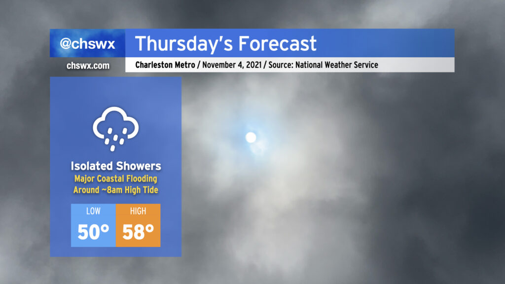
Thursday is going to have more of a mid-January feel to it as high pressure continues to wedge southward across the area, with breezy northeast winds, cloud cover, and maybe a shower or two helping to keep temperatures down into the 50s in the afternoon for the first time since early April. Suffice to say, it’s a sweater alert day across the Lowcountry!
The main weather-driven issue for Thursday, though, will be the risk for major coastal flooding around the morning high tide, which is forecast to peak between 8.0-8.2′ around 8am. If this water level verifies, it’ll close quite a few roads and make navigation around downtown Charleston unusually difficult. Salt water flooding could begin 2-3 hours ahead of the time of high tide, too, so be ready for some sporadic road closures even if your commute is on the early side. A Coastal Flood Watch is in effect for tomorrow morning between 5-11am. If the water level does look like it will approach 8′, the National Weather Service will upgrade this to a Coastal Flood Warning.
Another round of coastal flooding is expected with the evening high tide, which is predicted around 8:12pm and should peak around 7.3-7.4′. Minor to moderate flooding will be possible with this tide as well, though it won’t be nearly as widespread or severe as what is expected out of the morning high tide.
If there’s one bit of good news in all this, it’s that today’s tides underperformed guidance. This certainly is not a bellwether for lower-than-forecast water levels tomorrow, but it’s something to watch as forecasts for this event get calibrated over the next few days.
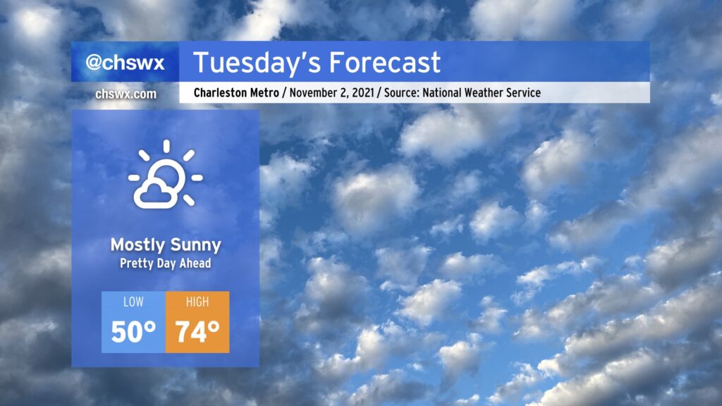
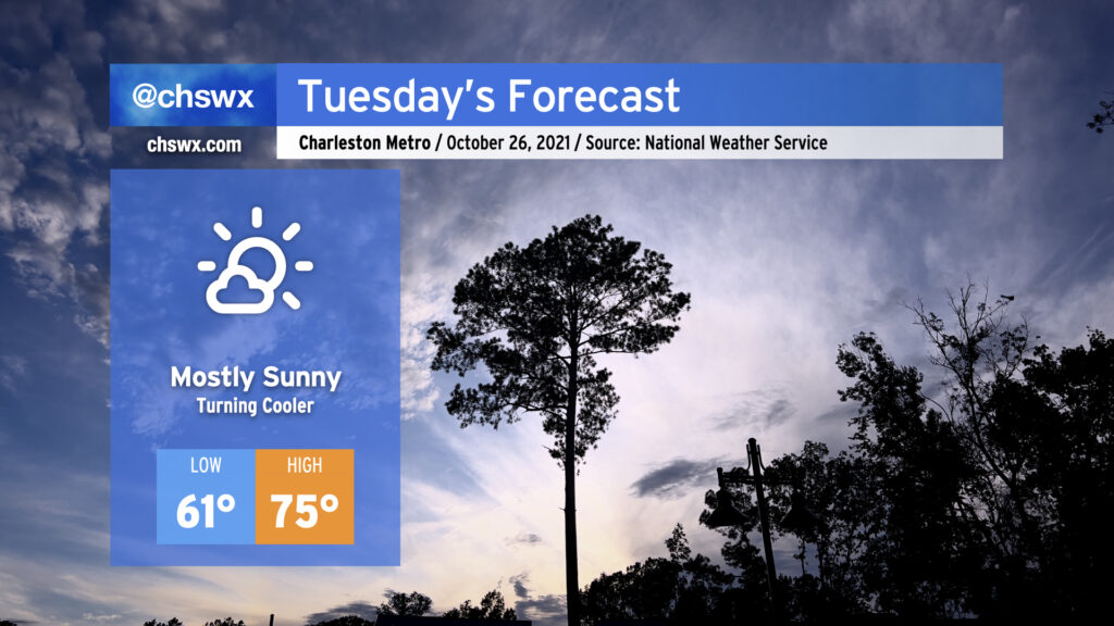
We’ve got one more really nice day on Tuesday before temperatures begin to fall back off into sweater weather territory. (Not that there’s anything wrong with that.) Expect highs to top out in the mid-70s after starting around 50° in the morning with mostly sunny skies throughout. We’ll begin to cool off after Tuesday as high pressure wedges southward into the area; highs don’t get out of the 60s on Wednesday and Thursday, and might not even crack 60° on Friday.
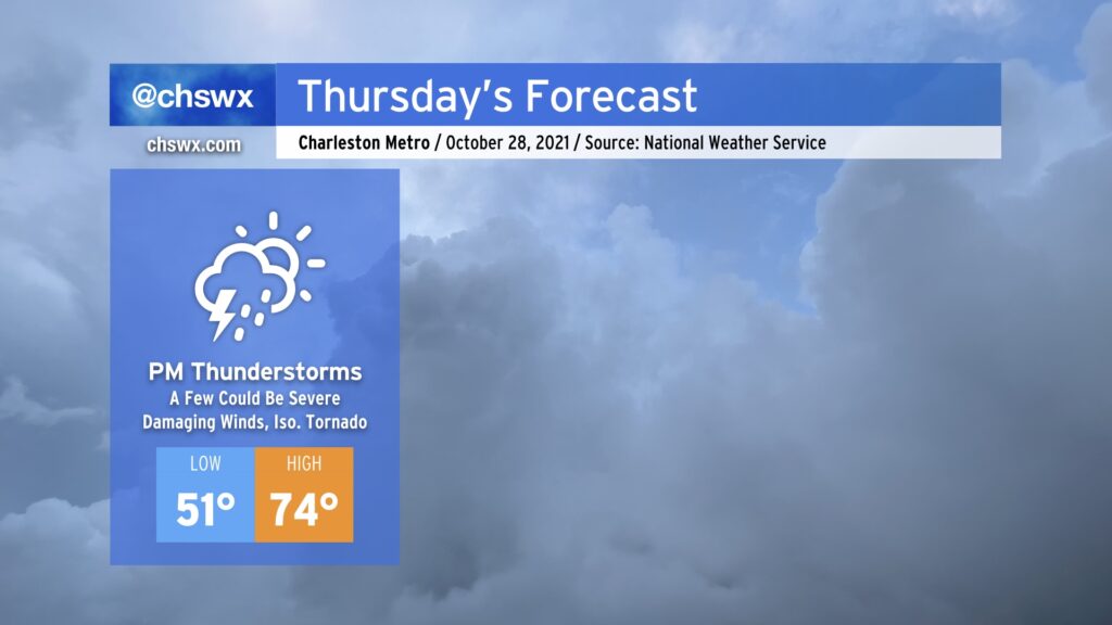
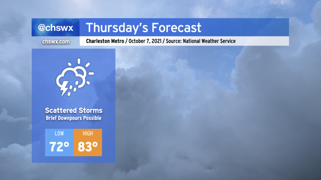
We’ll start Thursday much as we started today — a mix of sun and cloud cover with a bit of a chill in the air as lows bottom out in the low 50s. We look to end it with widespread rain with embedded thunderstorms, a few of which could be strong to severe, as a potent upper low and associated cold front approach the Lowcountry.
The severe weather threat on Thursday is certainly not a slam-dunk, but there are some concerning signals. First, there’s going to be plenty of wind energy available. A low-level jet of 55-65 MPH winds around 3,500 up looks to traverse the area in the afternoon and evening hours. This will help promote gusty winds throughout the day, even ahead of thunderstorms. Second, winds are veering with height, with southeasterly surface winds turning southerly and then southwesterly as you go up. This wind shear helps sustain thunderstorm updrafts and also can induce spin within stronger storms. Third, there is the potential for instability to spread into the area as a warm front passes by in the evening. However, instability is the biggest question mark given cloud cover and rain ahead of the storms, which often helps to tamp down on this “storm fuel” and, as a result, decreases the severe weather risk.
Ultimately, we will need to keep an eye on how things evolve tomorrow. If that instability does materialize as some of the guidance suggests it will, a few thunderstorms will be able to pull down some strong, potentially damaging winds. Given the spin in the atmosphere, a tornado or two is not out of the cards, either. Our best risk for severe weather appears timed between 4 and 10 PM, according to NWS, with the latter end of the timeline looking the most likely for SC. Stay weather-aware tomorrow and make sure you have multiple, redundant weather warning sources.
A cold front will come through early Tuesday, and with it will be a shot of cooler and drier air that will make for a pleasant day across the Lowcountry. We’ll start the day in the low 60s with highs rising to the mid-70s under mostly sunny skies. Overall, a really good day to get lunch outside if you can.
We’ll see a similar weather day on Wednesday with a cooler start (40s look possible in many spots). Thursday continues to look unsettled as a potent storm system approaches the area. Rain, heavy at times, will be the main concern, though a couple stronger storms are possible as well. We keep showers around on Friday as a lumbering upper low swings through the area before gradual clearing into the weekend.
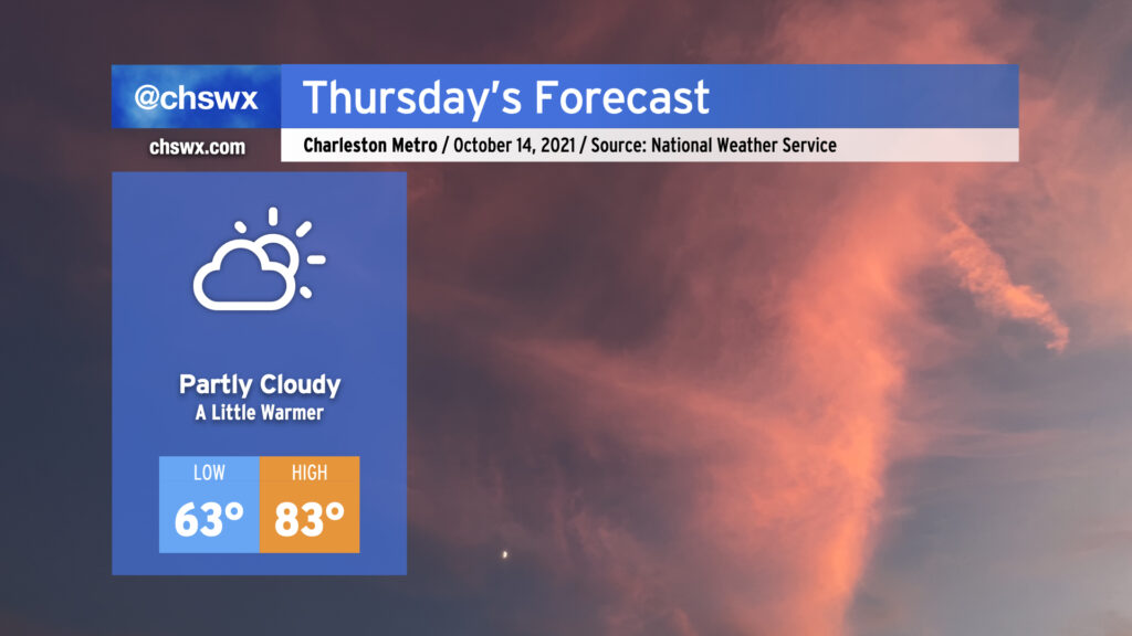
Temperatures will turn a little warmer Thursday as high pressure continues to build aloft. We’ll start the day in the low to mid-60s away from the warmer coastline and warm nicely into the low-to-mid 80s in the afternoon. Some patches of fog will be possible in the morning, so be aware of this as you commute. Thereafter, partly cloudy to mostly sunny skies will be the general rule, and no precipitation is expected once again.
Warming will continue into Friday and Saturday before a cold front moves through Saturday night and plunges us squarely into fall weather, with some of the coolest temperatures since spring coming up heading into next week. Stay tuned!
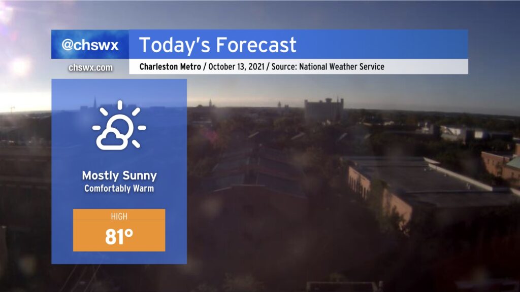
A beautiful day lies ahead with mostly sunny skies expected and comfortably warm temperatures in the low 80s. Expect a few clouds from time to time, but we should generally see more sunshine than we have the past couple days.
Our warming trend continues through the end of the work week. We still appear to be on track to at least challenge a record high or two before the week is over as highs head into the mid-to-upper 80s.
Looking for fall? It’s coming: A front will swing through sometime Saturday evening, and this will send temperatures closer to, if not slightly below, normal for mid-October starting on Sunday. Stay tuned!
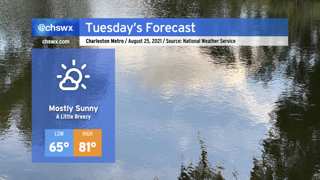
Persistent low cloud cover will break up overnight, yielding a pretty nice Tuesday across the Lowcountry as high pressure continues to build in over the area. Temperatures will be seasonably, but not unreasonably, warm as we begin the day in the mid-60s to head to a high of 81° under mostly sunny skies. The north to northeast breeze could be a touch gusty at times, but no major concerns to speak of there.
A brief bout of minor coastal flooding will be possible around the 1:52 PM high tide as water levels in the harbor are forecast to touch 7′. This won’t cause widespread problems, but should still be high enough to put some salt water on Fishburne and Hagood around the Citadel and Gadsden Creek.
Rinse and repeat: More scattered showers and thunderstorms will be in the forecast as we remain within a deep plume of moisture ahead of a large upper low. We’ll sit between that low to the west and ridging to our south, with periodic disturbances rippling through instigating unsettled weather. Temperatures will remain above normal, especially in the mornings as we bottom out only around 72° away from the warmer coastline. (The normal low for early October? 62°.) Highs top out in the low 80s with plenty of cloud cover and rainfall in the area.
This pattern will begin to abate as we get into the weekend with the upper low opening up and retrograding to the north, but isolated to scattered showers will remain in our forecast well into next week.
We’ll want to keep an eye on times of high tide over the next few days, especially in the mornings, as astronomical effects combined with onshore winds will drive tides into flood stage. Salt water flooding could factor into the tail end of tomorrow morning’s commute. Some showers look to move through the area overnight, but should be out of here before tides become a problem.