Tornado watch has expired
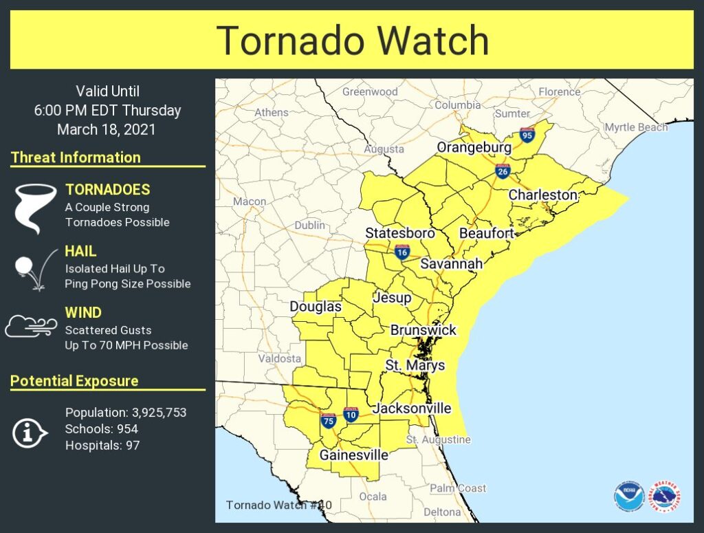
UPDATE 6:00 PM: The National Weather Service has canceled the tornado watch. The risk for severe weather has ended across the Lowcountry.
Read more »
UPDATE 6:00 PM: The National Weather Service has canceled the tornado watch. The risk for severe weather has ended across the Lowcountry.
Read more »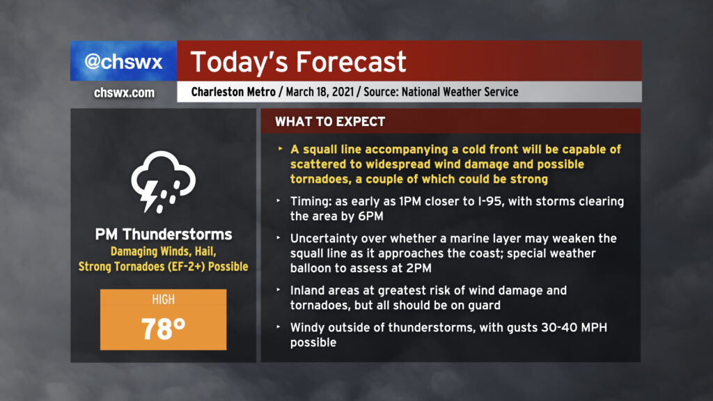
Today could feature a severe weather episode across the Lowcountry in the afternoon and early evening hours as a squall line pushes through the area. Damaging straight-line wind gusts are the primary concern, but embedded strong tornadoes and some large hail will be possible as well. We may see some weakening of the storms as they approach the Charleston metro area as the line interacts with a more stable marine layer, but I wouldn’t hang my hat on it as these storms could remain vigorous enough to overcome the stable air.
Before the storms arrive, expect mostly cloudy skies with some peeks of sun. Highs should top out in the upper 70s provided the line does not sweep through earlier than anticipated. It’ll turn windy outside of thunderstorms as the low-level jet kicks up throughout the day. Gusts to 30+ MPH will be possible, making bridge driving a little more tricky.
Storms should clear the area by around 6-7 PM if current timings hold, and we will turn much cooler tomorrow.
Read more »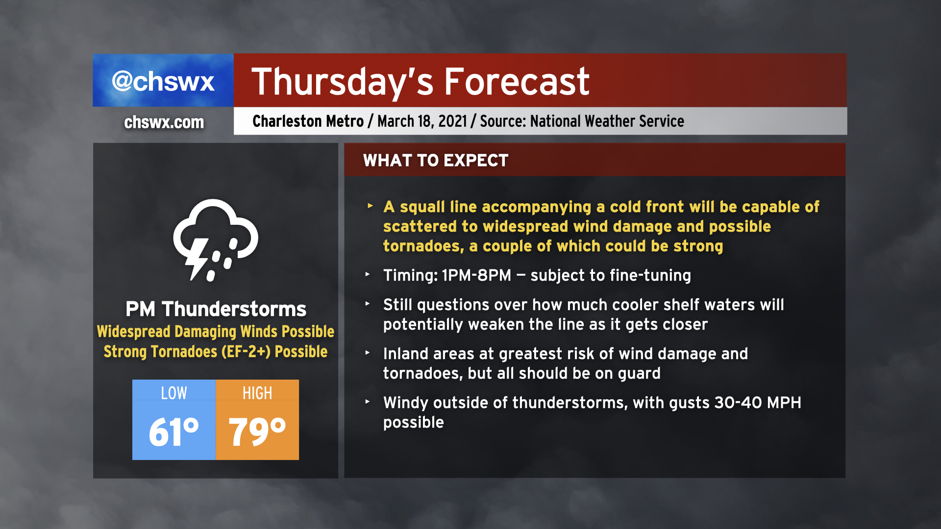
Severe weather appears to be in the cards for Thursday as a cold front approaches the area in the afternoon and early evening hours. This cold front is expected to be bringing a squall line with it, and the atmosphere ahead of the line will become increasingly favorable for sustaining severe weather. Temperatures will surge to near 80° especially away from the immediate coast before being tamped down later in the day. Even outside of thunderstorms, it will be windy, with gusts 30-40 MPH possible thanks to a strengthening low-level jet, which will help contribute to increased shear to help organize severe thunderstorms.
The squall line is the main concern, though. The line could enter western portions of the Tri-County as early as 1-2 PM, and may exit as late as 8 PM, based on the National Weather Service’s latest timing estimates. The line is slowly starting to take shape across Louisiana, and we will want to watch its progress closely over the next 24 hours to ensure timing and forecast is on track. A somewhat later arrival could mean more time for the atmosphere to destabilize, increasing the severe weather threat.
Hazards with the line include the risk for widespread damaging straight-line winds as well as a few tornadoes — a couple of which could be on the strong side, particularly near the I-95 corridor. Quarter-size hail is a possibility as well. Additionally, while not explicitly modeled in our area, we’ll want to keep an eye on any storms that might try to get going ahead of the line as those could pose a higher tornado risk.
Finally, it’s most important to note that not all of you will see severe weather tomorrow. There are limiting factors at play, including the role that the cooler Atlantic shelf waters may play in stabilizing the atmosphere closer to the coast and just how unstable the atmosphere can ultimately get here due to cloud cover. Severe weather forecasts are rarely a slam dunk in the Lowcountry because of our unique geography. With all that said, though, let’s be ready for the worst, but hopeful for a relatively quiet day.
Read more »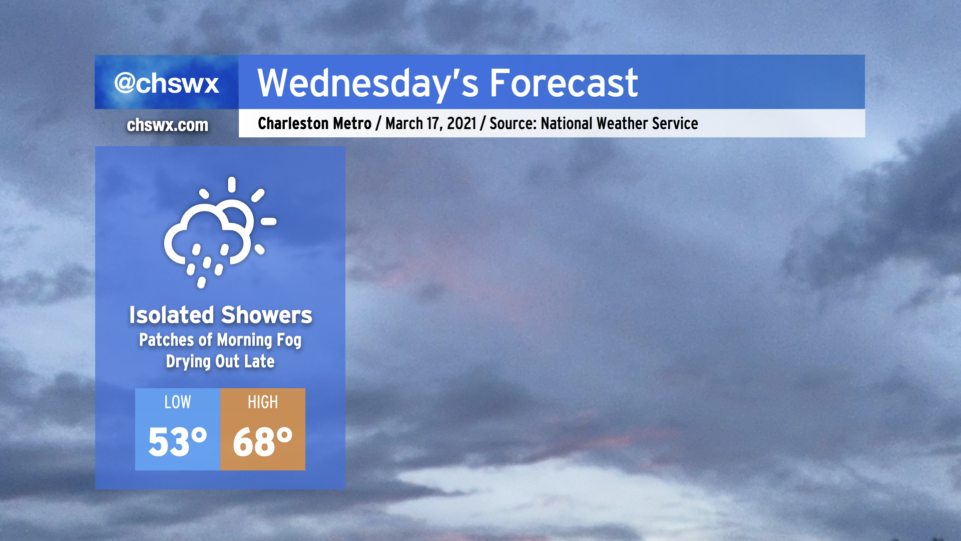
Another round of rain is expected overnight tonight as an upper-level disturbance moves through, with isolated showers possible during the day Wednesday.
The high pressure wedge won the day today, keeping temperatures well below forecasted levels in the low to mid-60s in the Charleston metro, while Moncks Corner struggled to 50°. It appears that the wedge will once again put a dent in temperatures tomorrow, with highs in the upper 60s in the Charleston metro perhaps being a bit generous if this afternoon’s high-resolution model runs have anything to say about it. Bottom line: Don’t misplace the light jacket tomorrow, preferably the green one given St. Patrick’s Day.
While we’ll be relatively calm tomorrow, a severe weather outbreak is expected from western Tennessee to Alabama as a strong storm system moves across the Mid-South. This storm system will head eastward and play a potentially major part in our weather on Thursday.
Read more »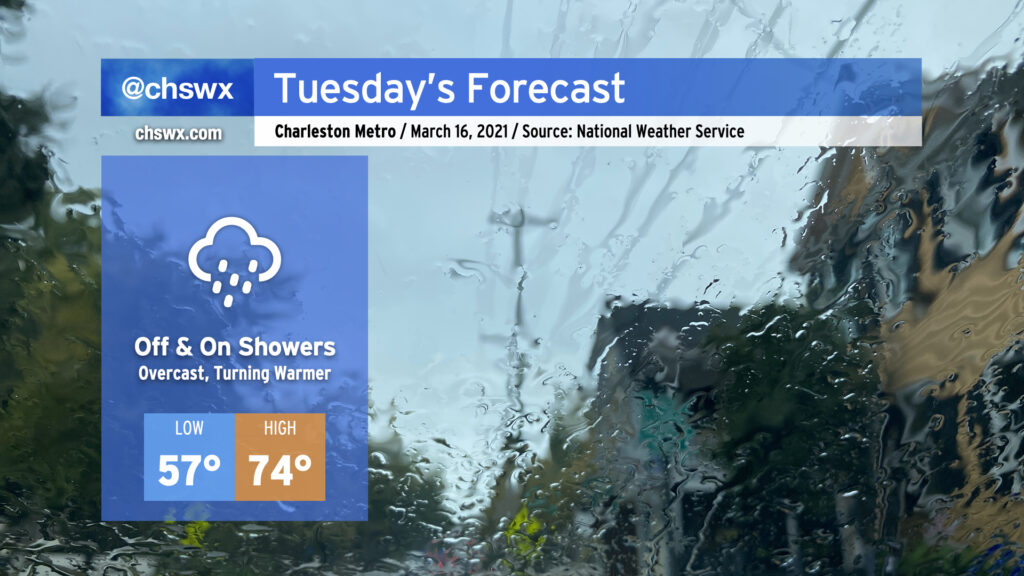
Well, it was nice while it lasted, but the rain is back overnight tonight into Tuesday as energy aloft as well as a surface low ripple along a stationary front to keep shower chances in the forecast, especially as we get into the evening hours. Expect the wedge front to retreat northward across the area during the day, with temperatures heading into the mid-70s in the afternoon in the metro area. 70s become a little less certain the further north and west you go; that will be governed strongly by just how far north the wedge front can retreat throughout the day. Models indicate a steep drop in temperatures across the front, potentially keeping areas near I-95 some 10-20° cooler than coastal areas.
A thunderstorm or two can’t be ruled out as we get into Tuesday afternoon and evening. A sampling of model soundings around the area suggest that a stronger storm or two may be in the cards, so we’ll want to keep an eye on this. However, no widespread severe weather is expected Tuesday.
Read more »