Friday: Temperature whiplash leads to freezing rain
Here’s a little weather whiplash for you: We got to 73° today at the airport. Tomorrow, we won’t even reach 40°.
A cold front is sinking steadily southward in our direction this evening, which will allow a wedge of Arctic high pressure to steadily build in from the north as we get into Friday. We’ll start the day in the mid-30s, warm up to the upper 30s, and then temperatures fall below freezing in the afternoon, all while light rain blankets the area. As the freezing line moves southward, so will the changeover to freezing rain, generally on elevated surfaces (including bridges and overpasses.) This freezing rain threat will arrive by Friday evening and stick around through early Saturday before low pressure departs and brings the stalled front with it.
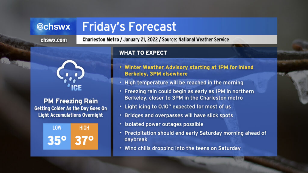
A Winter Weather Advisory goes into effect at 1PM Friday for inland Berkeley County (Goose Creek, Moncks Corner) and 3PM for the rest of the Tri-County area. This gives a general sense of the expected onset of freezing rain and is generally good timing to plan around.
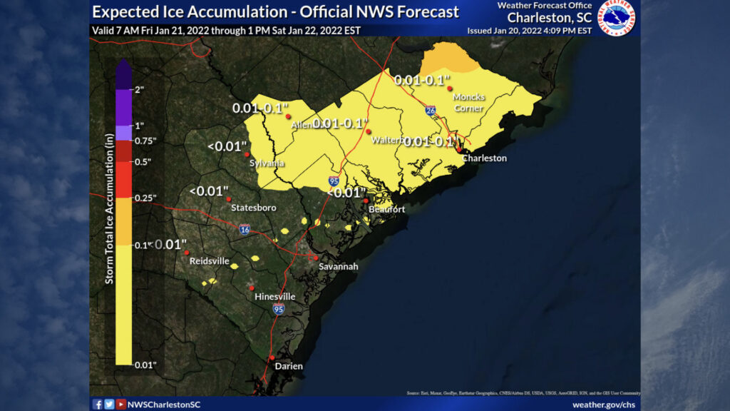
The worst icing from this storm will be north and east of us this go-around. We’re not expecting a repeat of February 2014 by any stretch, but there will still be the potential for slick bridges and overpasses across the area through Saturday afternoon. There is a small risk that ice accretion could exceed 0.10″ in the far northern reaches of Berkeley County, generally on the north side of Lake Moultrie, but that risk appears low at this point. With limited icing, power outages don’t look to be a widespread issue for our area, but you can’t count them out either, so keep devices charged just in case and have a flashlight or two within reach overnight.
The other story with this storm and subsequent aftermath will be some rather chilly temperatures this weekend. We’ll start Saturday in the upper 20s with temperatures only rising to around 40° in the afternoon. Wind chills Saturday morning will be in the teens, so be aware if you are venturing out (though icy spots on roads, bridges, and overpasses may preclude that). Sunday looks to be the coldest morning of the season so far, with lows in the low-to-mid-20s over much of the area. Sunshine will help push highs closer to 50°, though.
In any event, think warm thoughts and, if you can help it, do Friday night at home and keep the roads clear for essential travel and first responders.
Follow my Charleston Weather updates on Mastodon, Bluesky, Instagram, Facebook, or directly in a feed reader. Do you like what you see here? Please consider supporting my independent, hype-averse weather journalism and become a supporter on Patreon for a broader look at all things #chswx!