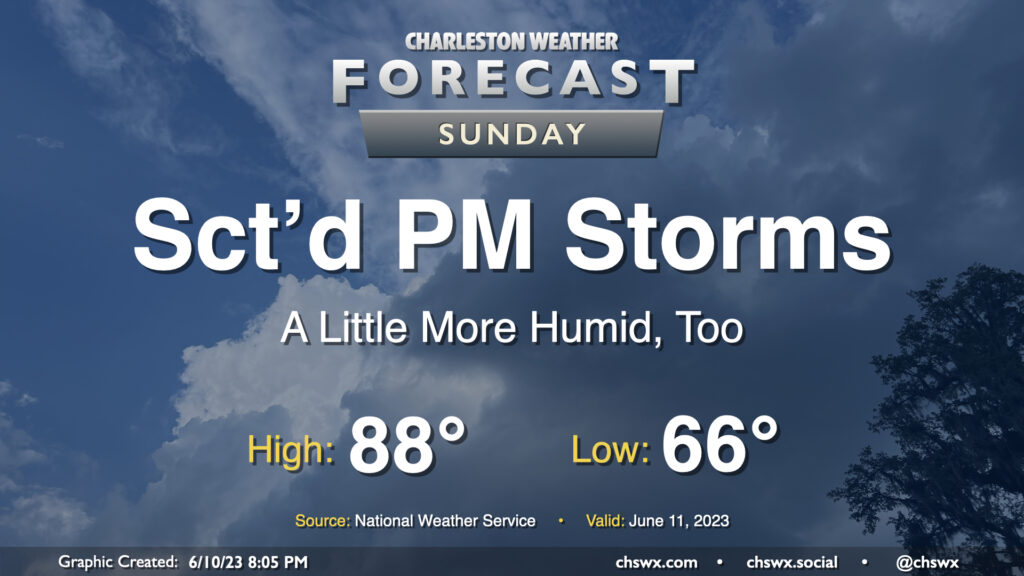
Tuesday: More thunderstorms to come

Showers and thunderstorms remain in the forecast for Tuesday and beyond as a Rex block (high pressure to the north, low pressure to the south) sets up across the area, feeding in plenty of moisture and sufficient forcing to keep things quite unsettled. Expect the day to start out in the upper 60s to around 70° before warming to about the mid-80s before storms get going. There’s the potential we could even be dealing with some showers and storms advancing through the area in the morning if some of the high-resolution guidance is correct, too, but the best chance for showers and thunderstorms will arrive in the afternoon. Bottom line: Keep the rain gear handy throughout the day, and be patient getting to where you’re going.
Rest of the work week: More of the same

The rest of the work week will continue to look quite unsettled as the aforementioned Rex block remains in place, keeping the moisture pump on and a series of disturbances rounding the mid-level low. Sure, we’ll see breaks in the rain at times, most likely in the mornings before daytime heating kicks in. Once that heating kicks in, though, expect to see scattered to numerous showers and thunderstorms each afternoon. Minor flooding could begin to become an issue in spots as we get through the rest of the week where heavier rain sets up, so we’ll need to monitor for that potential as well.
With all the rain in the area, expect status quo with temperatures: lows in the low 70s followed by highs in the mid-80s before the atmosphere convects all over again.
Tropical update: Bret is christened, with another disturbance on its heels

The tropics are active this evening, but not in the normal spot for June. Tropical Storm Bret formed today, and it has the distinction of being the furthest east a storm has formed this early in the year on record (which goes back about 50 years, generally the satellite era). On its heels is another disturbance, which is likely to develop into a tropical cyclone this week. The next name up is Cindy.
Climatologically speaking, we should be looking more toward the Caribbean and Gulf at this point in the year, but when the Atlantic is already warm enough to support tropical storm formation that far to the east, it’s gonna do what it’s gonna do, El Niño be damned.
Bret is forecast to become the first hurricane of the year

As of the 5PM advisory, Bret had maximum sustained winds of 40 MPH with gusts to 50 MPH, and was moving to the west at 21 MPH. It’s forecast to become the first hurricane of the 2023 season as it approaches the Lesser Antilles by later this week. By the weekend, some shear should start to work on it, and it is forecast to weaken back to a tropical storm by Saturday. Got plans to go to Puerto Rico or the Virgin Islands? Keep an eye on this one. Right now, though, it does not appear to be a Lowcountry concern.
Follow my Charleston Weather updates on Mastodon, Bluesky, Instagram, Facebook, or directly in a feed reader. Do you like what you see here? Please consider supporting my independent, hype-averse weather journalism and become a supporter on Patreon for a broader look at all things #chswx!