Thursday: Another quiet and warm day
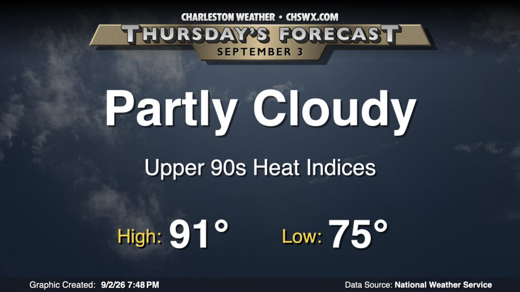
Thursday looks to generally be a repeat of Wednesday (weather-wise, anyway). We’ll start the day in the mid-70s once again, warming to the low 90s in the afternoon. Mid-70s dewpoints will help drive the heat index into the upper 90s to around 100° — not quite August, but getting long in the tooth. The day should be primarily quiet with partly cloudy skies expected, though like we saw roll through Moncks Corner on Wednesday, a stray shower can’t be totally ruled out.
Friday & the weekend: Turning a little more unsettled
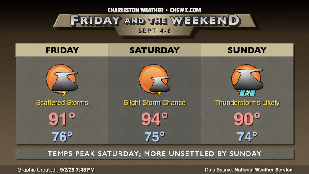
The ridge of high pressure aloft that’s been keeping us toasty and rain-free will begin to weaken and retreat westward as we get into the weekend in response to low pressure nudging southward from the northeast. At the surface, this will drive a front into the area, making showers and thunderstorms more likely as we get into Sunday. Ahead of that front, though, temperatures will spike, especially Saturday as highs peak in the mid-90s with heat indices similarly peaking around 105°+.
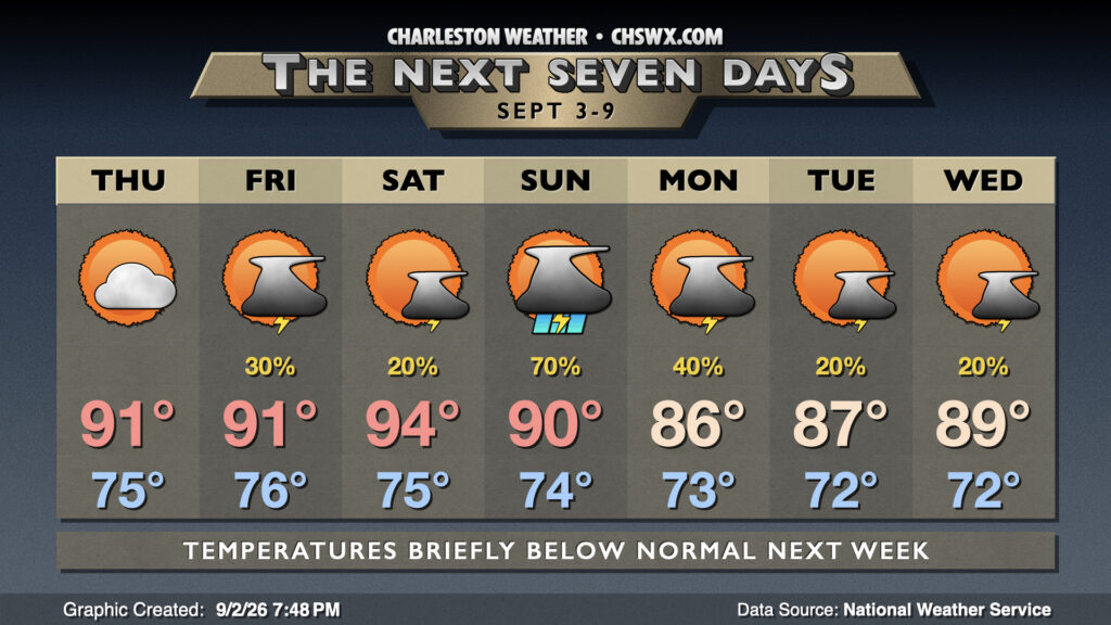
Residual rain chances hang around Monday before turning more into the standard afternoon slight thunderstorm chances Tuesday and Wednesday. Temperatures will take a brief dip below normal to start next week, with highs in the mid-80s Monday before they gradually recover heading into Tuesday and Wednesday, with 90s probably returning before next weekend.
Tropics: Edouard continues moving through Texas
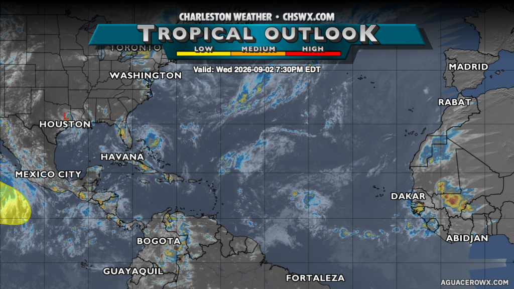
Tropical Depression Edouard continues to move inland through east Texas this evening, spreading heavy rain further inland. Elsewhere, there’s not much to write home about, with a few weak waves but no areas of concern in the Atlantic basin.
Follow my Charleston Weather updates on Mastodon, Bluesky, Instagram, Facebook, or directly in a feed reader. Do you like what you see here? Please consider supporting my independent, hype-averse weather journalism and become a supporter on Patreon for a broader look at all things #chswx!