Tuesday: A warmer-than-normal start to climatological fall
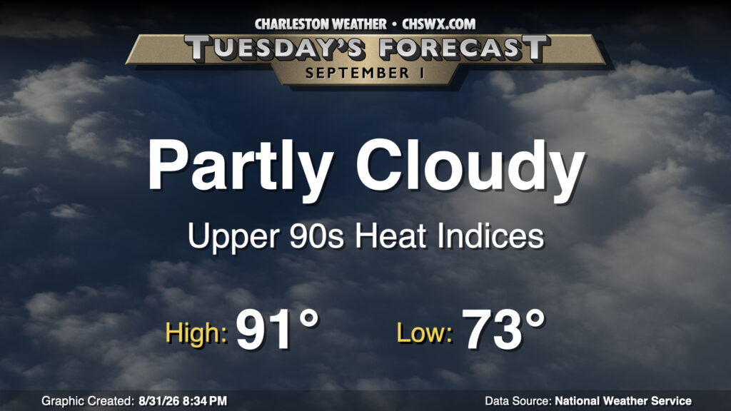
The first day of September marks the beginning of climatological fall, but it certainly won’t feel that way with a stretch of 90s coming up. Tuesday starts this streak, with highs expected in the low 90s after a low-to-mid-70s start. Ridging aloft will continue to build over the area, and that should suppress much in the way of shower and thunderstorm development in the afternoon, though a stray popup isn’t out of the question.
Rest of the work week: 90s continue
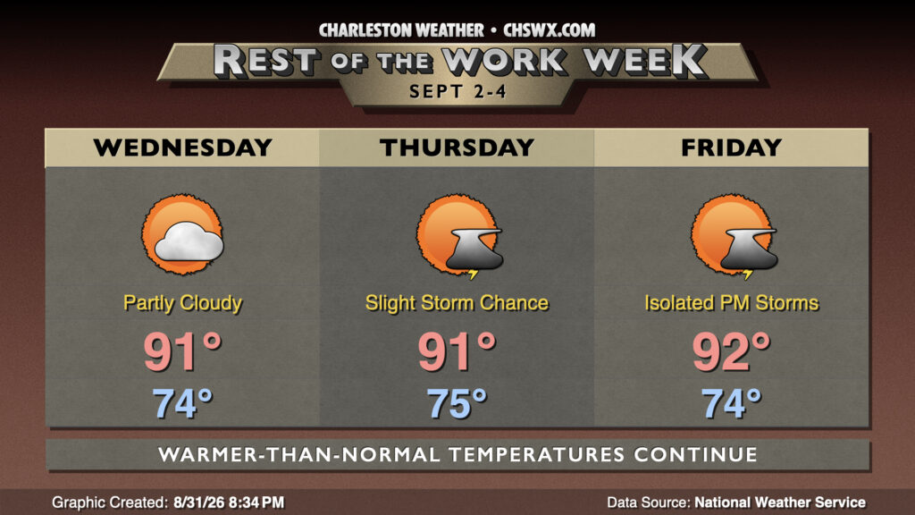
We’ll stay in the summery warmth for the rest of the work week. High pressure will continue to ridge in aloft, keeping temperatures a few degrees above normal. Lows will generally run in the mid-70s, with highs peaking in the low 90s each afternoon. Slight shower and thunderstorm chances return to the forecast on Thursday, but coverage should be sparse and many of us will get the rest of the work week in rain-free.
Looking ahead: Turning more unsettled this weekend as a front drops in
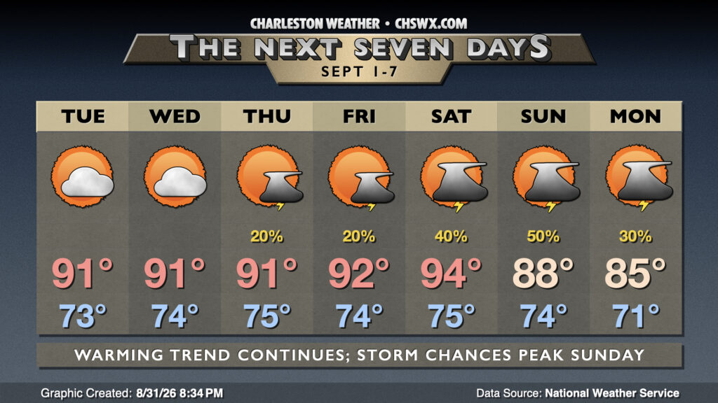
A cold front will drop into the area over the weekend, increasing the risk for showers and thunderstorms in the afternoons. Heat peaks on Saturday, with highs expected to reach the mid-90s before slightly more widespread storms fire across the area. The aforementioned front gets through on Sunday, and that keeps scattered to numerous storms in the forecast while temperatures head down a bit into the upper 80s. The front continues to push southward on Monday as high pressure starts to wedge in from the north, which will keep a shower and thunderstorm chance around but also cap temperatures in the mid-80s.
Tropics: Edouard finally develops, while chances for Dolly to regenerate drop
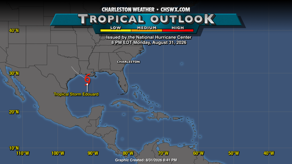
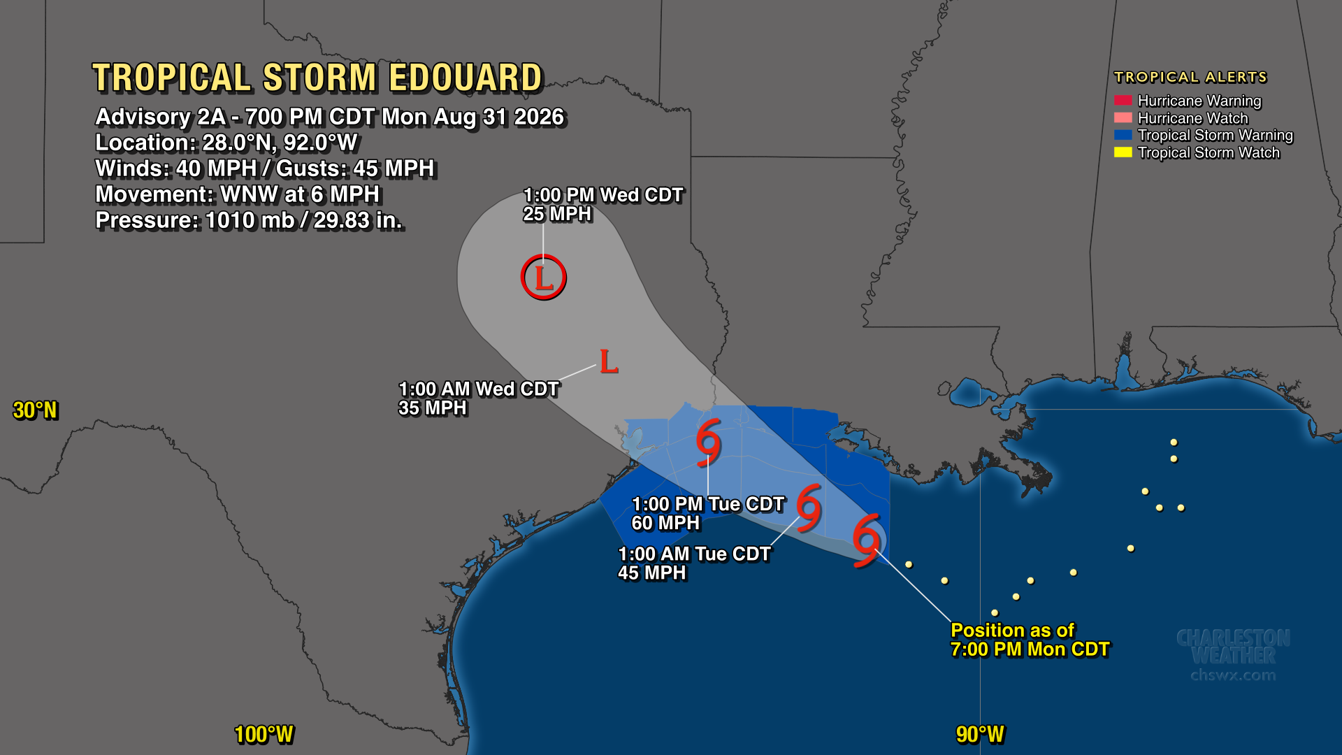
After a couple days of intrigue in the Gulf, we now have Tropical Storm Edouard located about 175 miles southeast of Port Arthur, TX, moving WNW at 6 MPH. While it won’t affect our weather, it’s a good illustration of the concern around “homegrown” storms during El Niño years as it’s expected to become a fairly solid tropical storm with 60 MPH winds before making landfall.
As Edouard goes on the board, the remnants of Dolly go off. The remnants had a 20% chance to develop at one point, but with the 8PM tropical outlook, the National Hurricane Center has dropped that area from its areas of concern for development. Elsewhere, the tropics remain quiet, with no credible concerns for the Lowcountry.
Follow my Charleston Weather updates on Mastodon, Bluesky, Instagram, Facebook, or directly in a feed reader. Do you like what you see here? Please consider supporting my independent, hype-averse weather journalism and become a supporter on Patreon for a broader look at all things #chswx!