Jared Smith founded @chswx on Twitter in 2008 as an experiment in disseminating weather data through social media. In the ensuing decade-and-a-half, @chswx has provided live coverage of tropical cyclones, tornadoes, severe weather, and even a couple bouts of winter weather to the good people of Charleston, SC.
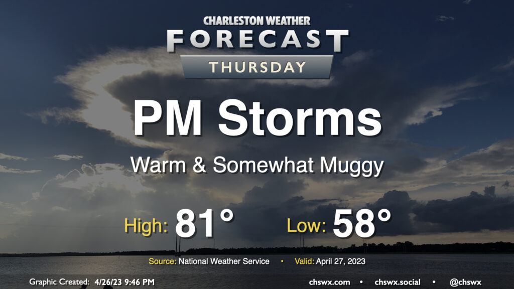
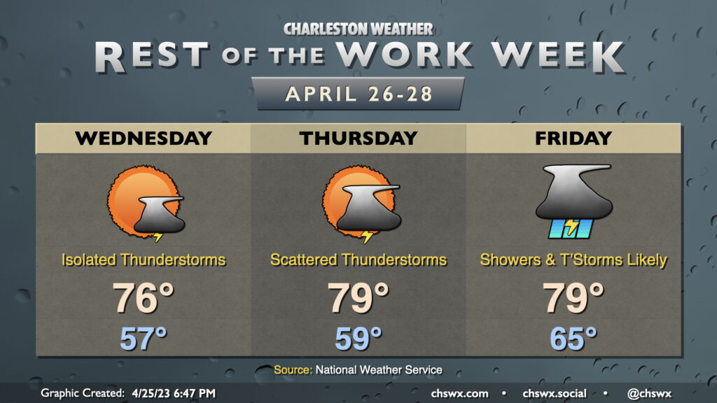
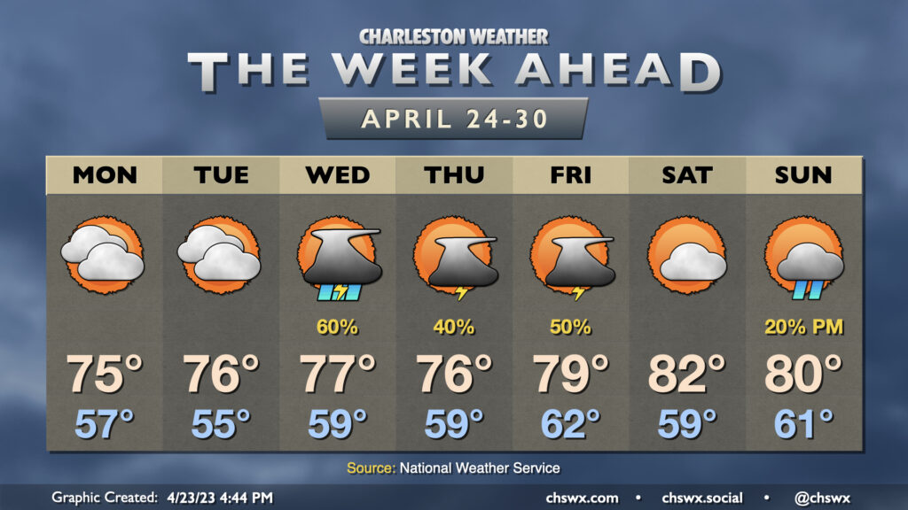
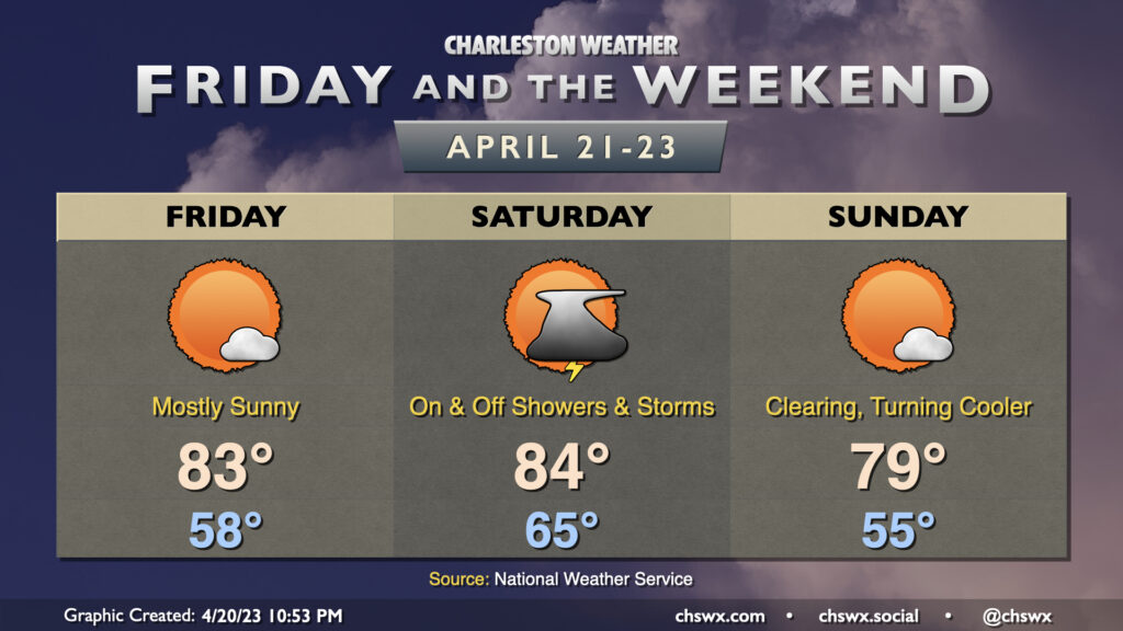
So one thing you’ll notice out of the gate with Friday’s forecast is that it looks a lot less stormy. This is due to the batch of rain pushing through as of this writing on Thursday evening; once this is through in the early morning, we’ll be in a lull in the more widespread activity, it looks like. Isolated to scattered thunderstorms remain possible, though, particularly further inland. The atmosphere will be primed for some sporadic severe weather if storms can fire given sufficient instability and shear, with damaging winds and hail the main concerns. However, the if in the previous sentence is pretty loaded — some models show very little if any rain during the day Friday. We’ll want to wait and see, and I’ll encourage you to stay weather-aware in case storms threaten, but overall the forecast looks a lot less soggy than it has for a good bit of the week. Highs will top out in the low 80s after starting the day in the mid-60s.
We should get a fair bit of Thursday in rain-free, but changes will be coming later in the day as low pressure to the west approaches the area. We start one more morning in the upper 50s before a warm front gradually lifts through the area throughout the day, which will bring dewpoints up in the afternoon and put a little mugginess in the air. A shower or storm along the seabreeze in the afternoon and early evening can’t be totally discounted, but the bulk of the rain arrives after dark with the aforementioned low pressure and will be around for much of the overnight.
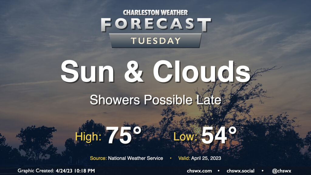
We should get much of, if not all of, Tuesday in rain-free before the pattern changes to something more unsettled to finish up the work week. We start Tuesday in the mid-50s; cloud cover and continued northeast flow will inhibit temperatures from rising much higher than the mid-70s in the afternoon. Some of the higher-resolution guidance has some isolated to scattered showers breaking out later in the afternoon into the evening hours as high pressure loses its grip on the area, but not everyone will see rain.
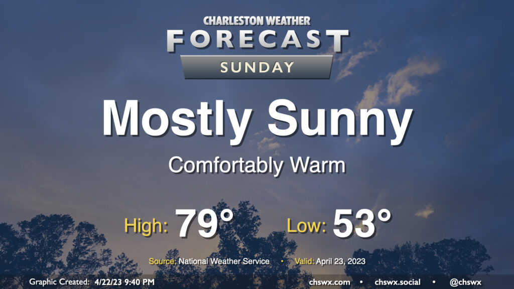
No weather concerns for Sunday as the cold front has cleared the area, leaving behind a cooler and drier airmass that’ll be highly conducive for outdoor activities. We start the day in the low-to-mid-50s across the area (warmer near the coast). Northwesterly winds, which will have a downslope component from the mountains, will help drive temperatures to the upper 70s in the afternoon under mostly sunny skies. Winds will shift a little more southerly in the late afternoon/evening hours behind the seabreeze, which will nudge dewpoints up a bit, but it’ll still be very, very comfortable outside with low humidity. Enjoy!
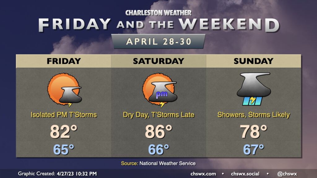
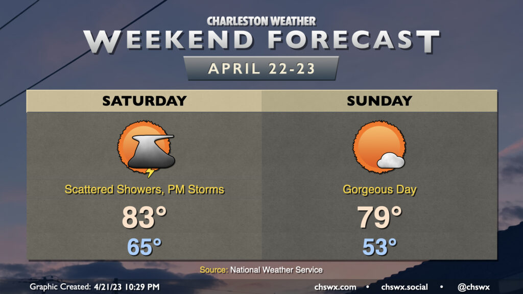
A cold front will affect the area this weekend, bringing showers and a few thunderstorms to the area on Saturday before a beautiful Sunday.
Two rounds of precipitation are possible Saturday. The first round could arrive in the morning from offshore, bringing showers and maybe a thunderstorm to the area through mid-morning. It then appears probable that we’ll see a break in the rain for a few hours before the cold front approaches the area later in the afternoon, which will bring the risk for another round of showers and a few thunderstorms. We’ll want to see how many breaks in the clouds can develop midday Saturday, as that’ll have impacts on how much the atmosphere can destabilize. Depending on how unstable things get, we could see a few stronger storms with gusty winds and hail. Wait and see, but be ready for thunderstorms if you have outdoor activities — remember, every thunderstorm is dangerous because of lightning. Highs on Saturday top out in the low 80s after a very warm start in the mid-60s.
The cold front gets through later Saturday, and will yield a beautiful Sunday. We start Sunday in the low 50s before northwest flow drives dewpoints down and temperatures up to the upper 70s in the afternoon. We’ll see a few clouds at most, and it’ll be a great day to get out and about.
A cold front will move through this weekend, knocking temperatures down a peg but also bringing showers and a few thunderstorms into the area on Saturday.
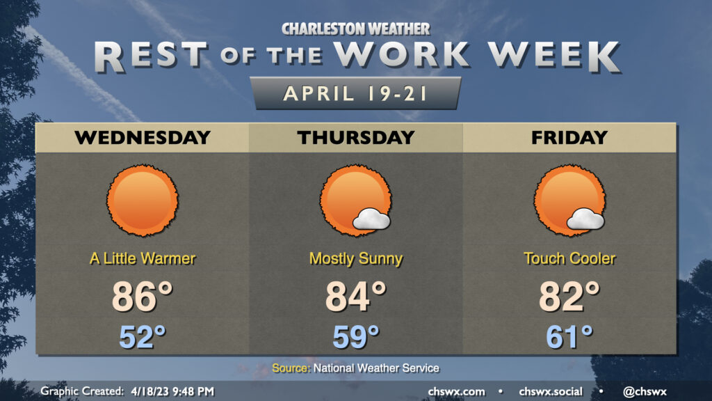
One more predominantly sunny day is in store for Thursday as stacked high pressure remains in place across the Carolinas. We’ll start the day in the mid-50s, generally around normal for April 20, before warming into the mid-to-upper 80s in the afternoon, which is ten degrees above normal. Unfettered sunshine is expected once again, with very little, if any, in the way of cloud cover. It’ll be another great day to get outside for lunch or even a nice golden-hour dinner.
Quiet weather continues through the end of the work week. Wednesday will run quite a bit warmer than the past couple days as stacked high pressure settles in right over the Carolinas. Surface high pressure will slip into the Atlantic during the day Wednesday, turning winds a little more southerly and allowing temperatures to rise well into the mid-80s. The aforementioned high pressure will keep cloud cover to an absolute minimum, much like we saw on Tuesday.