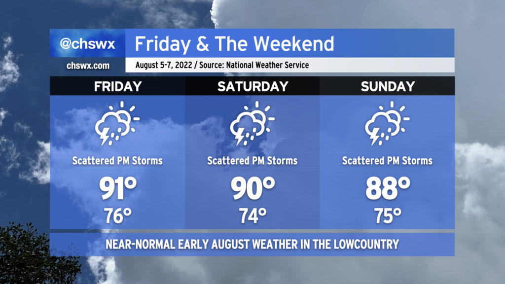
Atlantic high pressure keeps us appropriately warm and muggy by early August standards for tomorrow into the weekend. Onshore flow will help air temperatures run in the upper 80s to low 90s each afternoon, while humidity will make it feel closer to the upper 90s and low 100s.
The aforementioned onshore flow keeps a chance of showers in the forecast Friday morning closer to the coast. Rain chances will migrate inland with time, with a few thunderstorms possible as the seabreeze pushes inland across the area during the afternoon and early evening hours. Saturday’s setup looks similar, too, though the NAM nest is a little less excited about morning showers. Sunday could be a little more active as what looks like a weak TUTT (tropical upper-tropospheric trough) whirls into the area from the east, helping to enhance shower and storm coverage across the area. Overall, the risk for severe weather remains low, but as always, lightning makes every thunderstorm dangerous. When thunder roars, go indoors!
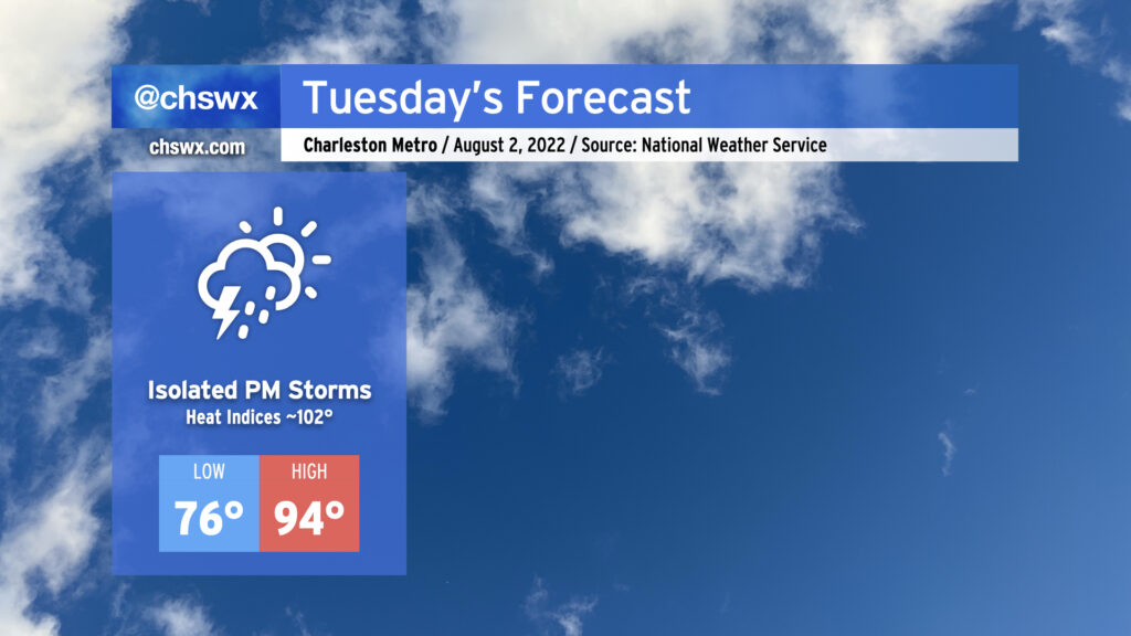
More warm and humid weather is on tap for Tuesday as air temperatures once again peak in the mid-90s after starting out in the mid-70s away from the warmer coastline. Mix in humidity and it’ll feel closer to the low 100s, especially as the seabreeze passes by in the afternoon. Rain-wise, it looks to be a fairly typical summer day. We could contend with a few showers in the morning near the coast, with primarily seabreeze-driven isolated shower and storm coverage in the afternoon. Storms will be able to produce some heavy rain and maybe a few strong wind gusts, but severe weather isn’t anticipated.
We could see a little better storm coverage on Wednesday before high pressure rebuilds later in the week. Temperatures will be trending down toward around normal for this point in the year as well, with highs around 90° each day from Thursday into next week.
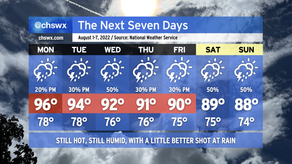
We say goodbye to July and hello to August with appropriately hot and humid conditions for this point in the summer, though we’ll see air temperatures fall a bit as the week progresses, which will have a little downward pressure on heat indices primarily as we get into the weekend. We have some rain chances in there as well, particularly mid-week.
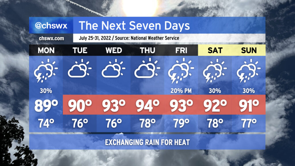
Monday will be the hottest day air temperature-wise as highs look to peak in the mid-90s, though some drier air aloft will mix down and bring dewpoints to around 70° in the metro area, keeping heat indices in check to around 100-103°. An afternoon shower or storm can’t be ruled out, but coverage should be sparse.
Tuesday could see a little more convective coverage as high pressure aloft begins to shunt southward a little, while Wednesday should be even a little more active as a trough approaches from the southwest and return flow from the Gulf establishes itself nicely with Atlantic high pressure retrograding eastward. Thursday and Friday feature more typical afternoon thunderstorm chances. Highs in this period will steadily head down, ranging from 94° on Tuesday to 90° on Friday. However, the infusion of humidity will keep heat indices in the low 100s through Thursday despite the lowering air temperatures.
Temperatures will continue to fall into the weekend, with highs stopping short of 90° expected Saturday and Sunday thanks to a little more in the way of onshore flow as Atlantic high pressure shifts a little more northward. This could also keep rain chances a touch higher, as well, but no washout is currently in the cards for the weekend. Overall, pretty standard early-August fare for the Charleston metro area.
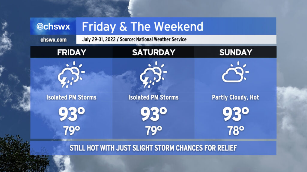
We’ll stay hot heading into the last few days of July as ridging continues to feature prominently in the weather pattern. Temperatures will run in the low to mid-90s each day, with heat indices between 105-108° a distinct possibility during the height of each afternoon. Lows, meanwhile, will struggle below 80° away from the coast, with temperatures not getting below 80° at the beaches for the foreseeable future. Isolated thunderstorms appear possible each afternoon — it’s hard to avoid this time of year, but the risk for additional rain remains quite low overall. Where storms develop, pockets of locally heavy rain and gusty winds will be possible, but as mentioned, they’ll be quite sparse — a relatively quiet end to what’s been a rather unsettled month.
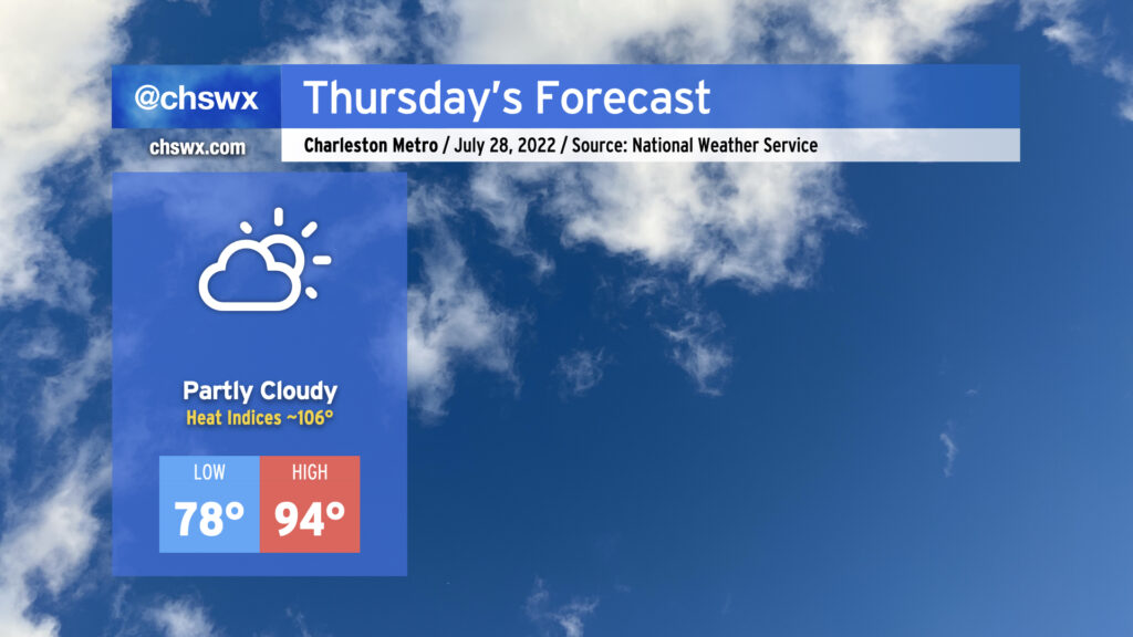
Another hot day is in store Thursday. After starting in the upper 70s away from the coast and Downtown (lower 80s there, gross), temperatures will warm to the mid-90s in the afternoon under partly cloudy skies. Mix in humidity and that’ll yield heat indices around 106°, plenty warm enough for heat exhaustion concerns during the peak of the afternoon. Much like today, expect rain-free conditions to persist as high pressure and the surface and aloft keep thunderstorm development at bay. Indeed, the only relief may be a cumulus cloud or two blocking out a bit of sun for a time.
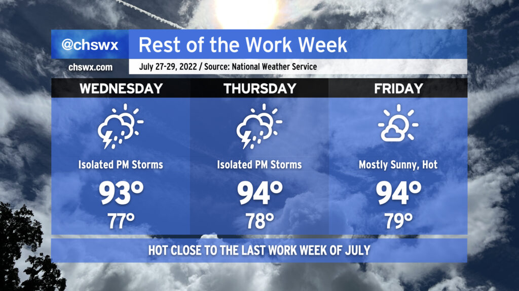
We’ll be closing out the last work week of July with a good bit of heat as high pressure dominates the weather pattern. Air temperatures will run into the mid-90s each afternoon, while humidity on top will make it feel well into the mid-100s. While heat indices will not reach the post-July 1 heat advisory criteria of 110°, it’ll still be enough to elevate the risk of heat-related illness. Make sure you’re getting plenty of fluids and taking plenty of shady breaks during the heat of the afternoon if you must be outdoors. Low temperatures will run quite warm as well, only bottoming out in the upper 70s away from the coast. Downtown and coastal communities may not see lows dip below 80° for several days. This lack of any real cooling off can add to cumulative heat stress over time.
The aforementioned high pressure will keep afternoon showers and thunderstorms to a minimum, with only isolated coverage expected along and ahead of the seabreeze on Wednesday and Thursday, with unmentionably low rain chances on Friday. It’s hard to stay totally rain-free this time of year, but don’t expect much out of storms over the next few days.
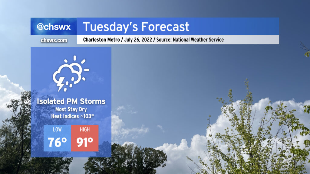
We saw a lot less rainfall across the area today as ridging began to take hold. This continues into tomorrow and for much of the rest of the week as high pressure strengthens and maintains its grip. Highs will top out in the low 90s; mix in some humidity and you’ve got yourself heat indices in the low 100s.
Rain-wise, there’s not too much to write home about: We’ll have a shot at a shower or storm or two in the morning along the coast, but much of that activity should remain largely offshore. An isolated storm or two cannot be totally ruled out in the afternoon; where a storm fires, the rain could turn heavy and winds could be briefly gusty. However, the vast majority of us should stay dry. Expect this pattern to largely repeat itself for the rest of the work week, too, just with warmer air temperatures contributing to heat indices eventually reaching 105-110° by Wednesday and Thursday.
The good news is that there are some predominantly rain-free days in the forecast this week. (Imagine writing that three weeks ago!) The less-than-good news is that temperatures will head back up, with heat indices perhaps approaching 110° later this week before a slightly more unsettled pattern returns for the weekend.
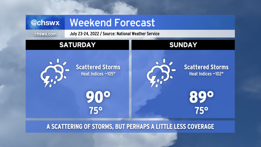
Hot and humid conditions continue this weekend as temperatures head back to around 90° each afternoon. Mix in the humidity and it’ll feel closer to 105° on Saturday and 102° on Sunday. Scattered showers and thunderstorms will remain in the forecast primarily in the afternoons, with the risk for locally heavy rain and isolated bouts of flooding to continue. A stronger storm or two with gusty winds is certainly on the table, as well. Lightning will make every thunderstorm dangerous, so remember to head indoors if you’re hearing thunder. Overall, with high pressure beginning to reassert itself, we should see a little less coverage of showers and storms overall. Storms will certainly not be an all-day thing — just something to plan around.
We turn progressively warmer and less rainy (finally!) next week as high pressure continues to build in at the surface and aloft. Mid-90s will be common by Wednesday, with isolated to scattered storms along and ahead of the seabreeze possible each afternoon. But that’s next week; no reason to prematurely induce Sunday Scaries. Enjoy the weekend!
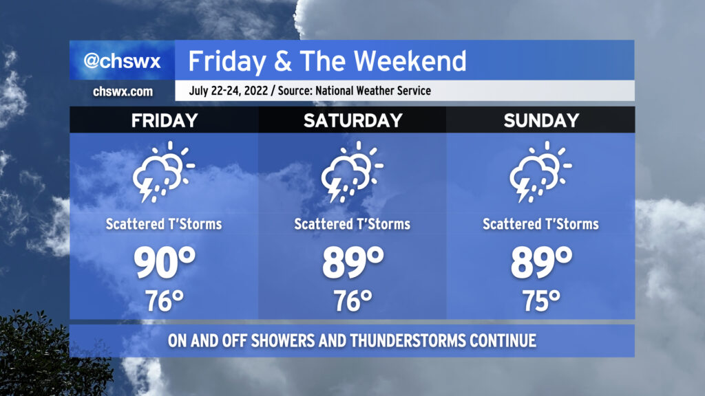
More steamy and occasionally stormy weather is in store for the weekend as a cold front moves close by and stalls out. It won’t be a total rainout, but backup plans for weekend activities are not a bad idea.
Friday should start out rain-free in the metro area, but it’ll still be quite warm as we start In the mid-to-upper 70s, warmer toward the coast. Temperatures should rise to around 90° by early afternoon before thunderstorms develop. Humidity will make it feel closer to 103°. Once again, there’s a risk for very heavy rain with these storms, and given the soaking we’ve had recently, flooding is once again a concern.
And so it will go heading into the weekend, as well, with the stalled front acting as a focal point for additional showers and thunderstorms to develop around the area. Temperatures will, before thunderstorms mess things up, top out around 90° each day, with heat indices reaching into the 100s. Heavy rain and flooding remain a threat; a wet microburst with damaging wind gusts can’t be ruled out in the strongest storms, either.
There is change coming, though. We’ll see high pressure begin to reassert itself both at the surface and aloft. This will help to suppress the more widespread thunderstorm activity we’ve seen for the balance of this month as we head into next week, though it won’t eliminate it completely as an isolated shower or storm will be possible along and ahead of the seabreeze. Temperatures, though, will continue to generally run in the low 90s each afternoon, with heat indices continuing to run in the low 100s. And so, summer rolls on. (At least the tropics remain quiet!)