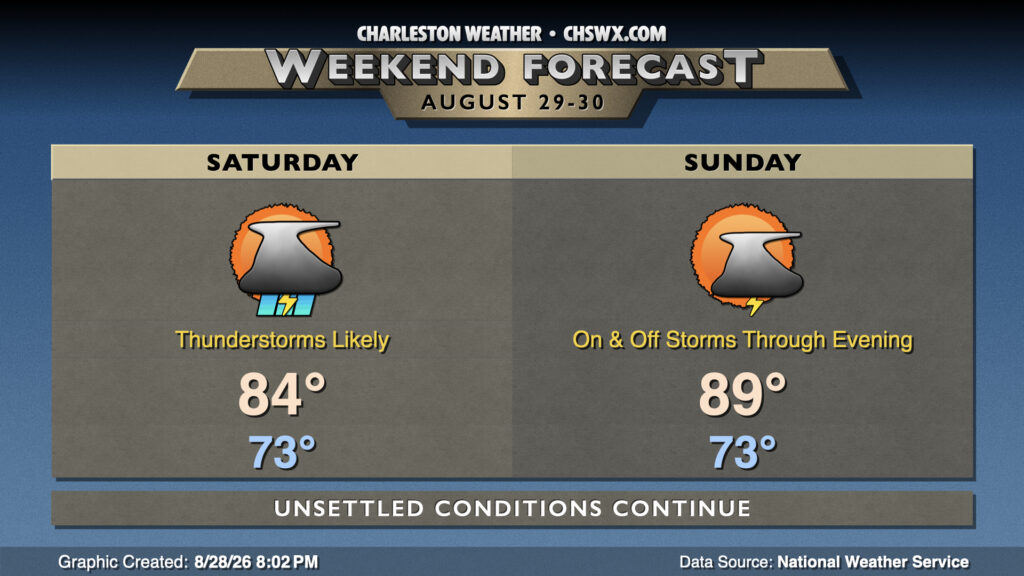
Unsettled weather continues this weekend with plenty of moisture remaining available across the area and a front to the west, though we should start to see a downtick in rain coverage starting Sunday as high pressure begins to rebuild aloft and that front falls apart.
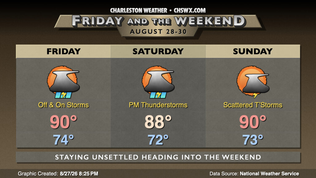
A front at the surface and a trough of low pressure aloft will keep things on the unsettled side heading into Friday and the weekend, with the potential for heavy rain especially Friday and Saturday.
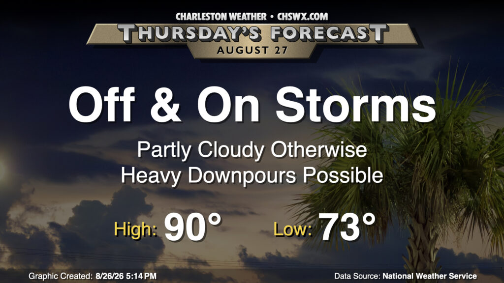
Thursday’s weather setup will be similar to what we saw on Wednesday with scattered to numerous thunderstorms affecting some spots while the sun peeks out elsewhere. Temperatures will start in the low to mid-70s once again, warming to around 90° in the afternoon — just a smidge above normal for late August. The severe weather risk is low, but once again, a storm or two could produce gusty winds. There is also the risk for flooding given slow storm motions and potential training of rain across the same spots, so stay alert as you get out and about tomorrow.
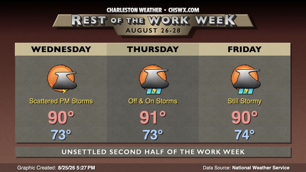
Afternoon shower and thunderstorm coverage will gradually increase over the next few days as a trough of low pressure remains draped over the eastern third of the country and moisture return continues to improve.
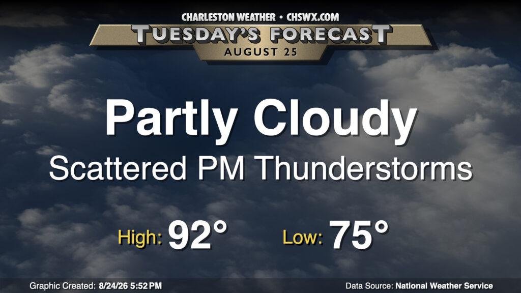
Tuesday will be a lot like Monday was, it looks like, with lows in the mid-70s yielding to highs in the low 90s in the afternoon. With the persisting stationary front to our west and the afternoon seabreeze, we can expect generally scattered thunderstorms to develop once again in the afternoon. Not everyone will see a storm, but those that do could see heavy downpours and even some severe weather, with damaging wind gusts the main concern.