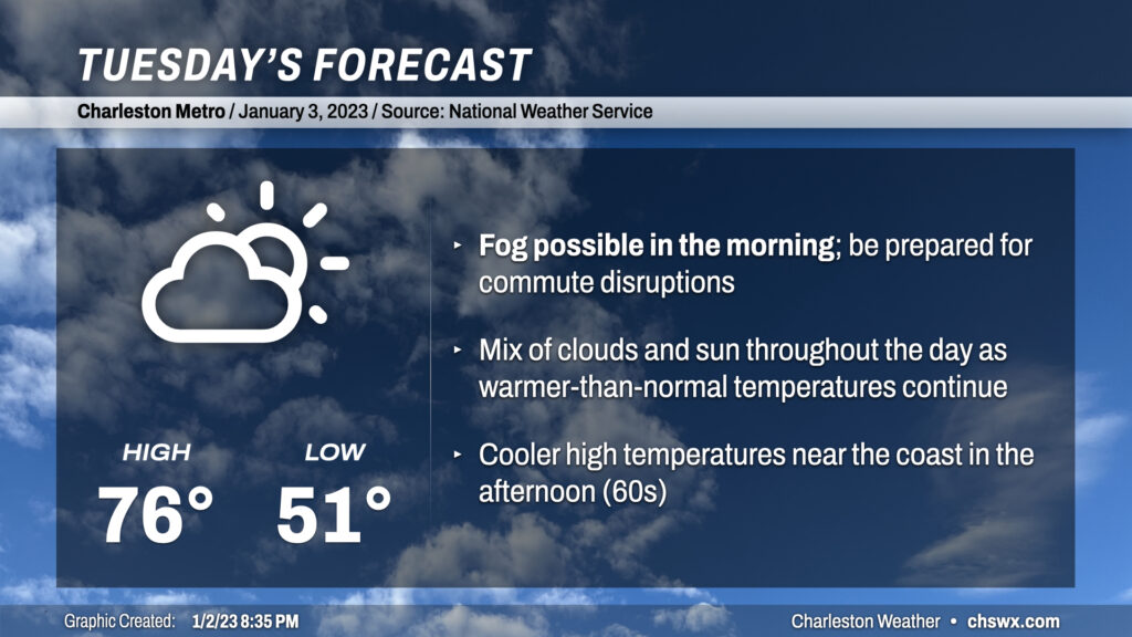
Tuesday looks to start much in the same fashion as the past few days: at a minimum, patches of fog, potentially dense with visibility below ¼ of a mile at times, should develop overnight and should persist into mid-morning. As of this writing, a Dense Fog Advisory is in effect for Charleston County and Berkeley County around Cainhoy and Daniel Island through 10am. If fog does indeed persist and even expand, you’ll want to be sure to allow extra following distance and use low beams so that other drivers can more readily see you.
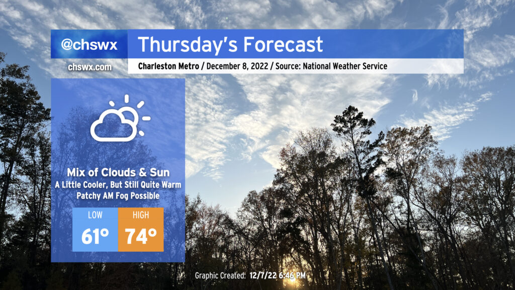
Once the fog mixes out, partly cloudy to mostly sunny skies will kick back in, and temperatures should respond by heading into the mid-70s by afternoon (sticking closer to the low-to-mid-60s near the coast, though, given much cooler shelf waters). Clouds should be on the increase in the evening as our next storm system approaches from the west.
After a high of 62° today — the first time since December 17 that we’ve crossed the 60° threshold — we will be back into the 60s tomorrow across the metro, with temperatures running a few degrees warmer than they did today. Most notably, those of us east of Highway 17-A will remain above freezing into tomorrow morning for the first time since December 23. Those of you along and inland of 17-A will want to take freezing weather precautions for just one more night as lows dip below 32° for a time, with a few upper 20s possible in more sheltered locations. However, many of us will not need to drip faucets or take other precautions tonight (though bringing your pets in is always a good idea this time of year).
We head back well below freezing overnight into Tuesday morning as gradually modifying Arctic air remains in place across the area and mostly clear skies allow for good radiational cooling. This is going to be another night where you’re going to want to have a faucet or two going to prevent burst pipes or other leaks from developing. Make sure pets are inside, sensitive plants are indoors or covered, and your loved ones and neighbors are warm.
Temperatures should be above freezing by 10am on their way to the low 50s in the afternoon. A shortwave trough will be swinging by in the morning through early afternoon, instigating some cloud cover but little else as very dry air remains in place across the area. We should see some clearing begin to take shape before sunset, after which temperatures will once again quickly fall back into the 30s.
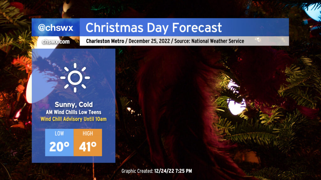
After record-breaking cold on Christmas Eve, we have another round of cold — but perhaps not quite as cold — weather for Christmas Day.
We begin the day with another Wind Chill Advisory as another round of low teens wind chills is forecast across the area. Air temperatures will drop to around 20°, with another dip into the teens possible further inland as well as in more rural areas. The good news is that after what should amount to about 40 consecutive hours below freezing, we will finally exceed the melting point by early afternoon, which will give us some much-needed thaw time. Skies will be mostly clear throughout the day, and at least some unfiltered sunshine will help it feel not as bitterly cold as it was on Saturday, though wind chills will still, at best, run in the low 30s.
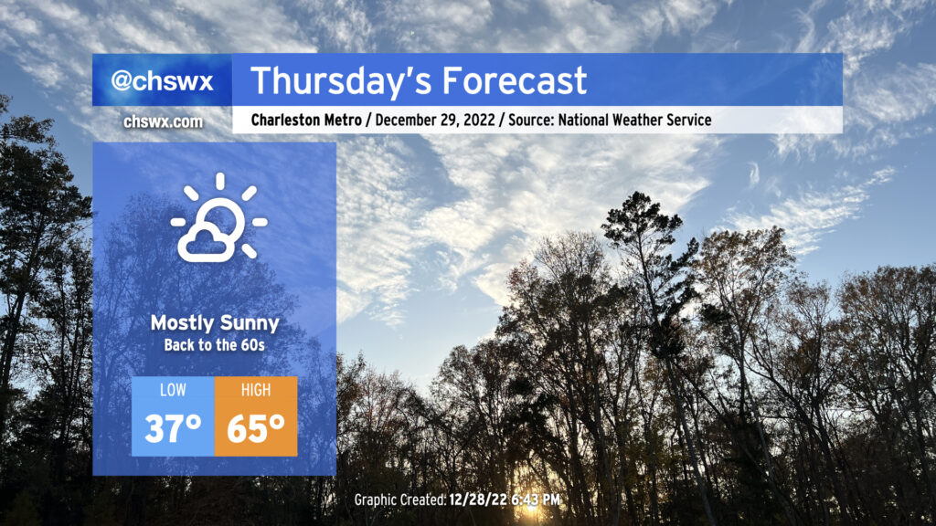
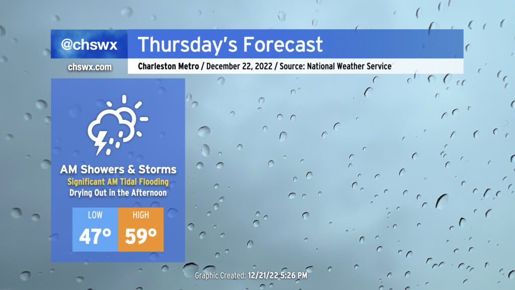
Thursday will bring somewhat complex weather to the Lowcountry with a very soggy start to the day as low pressure moves across the area, followed by a dry slot moving into the area in the afternoon to shut off the rain. Of course, we continue to monitor the progress of an incredibly potent Arctic cold front as it progresses across the country, with it expected to clear our area on Friday.
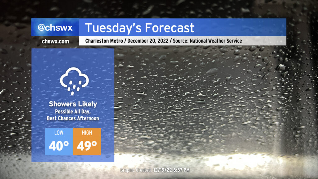
Tomorrow’s forecast, personally speaking, gives me the ick. High pressure wedging southward and moisture running atop of it thanks to low pressure to our south will help generate a chilly, cloudy, and at times rainy day in the Lowcountry tomorrow. We are already starting to see cloud cover thicken tonight primarily in the mid- and upper levels as of this writing with rain encroaching into southeast Georgia. Expect showers to build as the day goes on, with maybe ¾-1″ of rain possible before it’s all said and done.
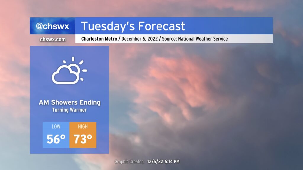
Rain falling into the wedge will keep temperatures quite chilly tomorrow. Lows in the low 40s will struggle to the upper 40s in the afternoon at best, with the immediate coast maybe touching 50°. The northeasterly breeze will make it feel even cooler at times, with wind chills in the upper 30s falling to the mid-30s by evening. Overall, Tuesday’s a good day for soup, chili, or whatever else comforts you when the weather outside is gray and rainy.
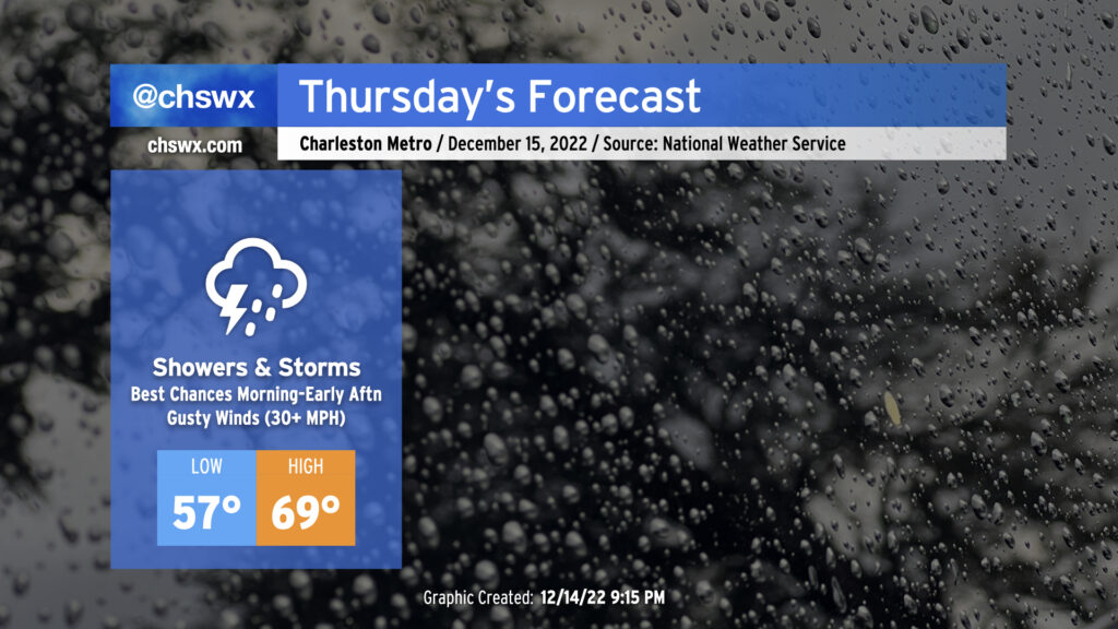
A warm front is lifting north across Georgia and South Carolina this evening, which will make for a warmer and more muggy day for Thursday ahead of a cold front. I’d anticipate that the forecast morning low of 57° will be set closer to midnight, followed by temperatures heading into the 60s by daybreak, topping out around 70° in the afternoon. Gusty winds will precede the front even outside of any thunderstorms — watch for gusts 30-35 MPH to potentially cause some havoc with Christmas decorations. We can expect a few showers and maybe even a thunderstorm or two overnight into the morning ahead of the main frontal band.
The timing of the front and the extent of morning shower activity will act as a governor on any severe weather threat that could develop. Shear looks good, but instability is the question mark. Still, a few storms with gusty straight-line winds are possible, and there’s even the risk for a few of these storms to rotate. Keep an eye on the weather Thursday, particularly mid-morning through early afternoon, for any possible watches or warnings that might need to be issued.
We should be rid of the rain by evening — some of the faster guidance coming in this evening even has it out of here by mid-afternoon, with some sunshine breaking out before the day’s over — with temperatures falling into the 50s by 8 PM as cooler and drier air moves in behind the cold front.
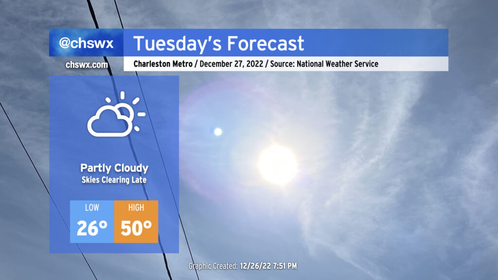
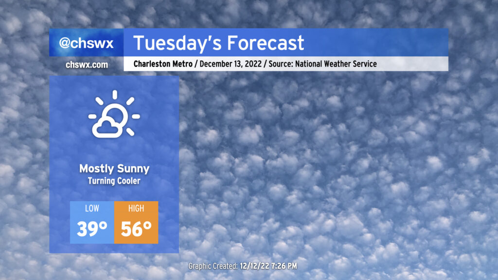
We’ll find high pressure wedging back into the area on Tuesday as it passes to our north. Morning lows will bottom out in the mid-to-upper 30s across the metro, with mid-30s wind chills possible with the northeasterly wind. (You might want to bring pets and sensitive plants in tonight, just in case.) With little moisture in place, we’ll see mostly sunny skies, but the influx of cooler air will keep highs pinned to the mid-50s despite the sunshine — solid sweater weather if I do say so myself.
After tying a record high on Wednesday (81°!), we’ll see a cold front approach our area for Thursday. The associated cloud cover will help prevent us from getting back to record warmth, but we’ll still see highs peak in the mid-70s — perhaps higher if the front struggles to get further south. We should remain rain-free, however.
Showers will continue overnight into early Tuesday morning, but rain should be departing the area around sunrise. As high pressure to the north moves eastward, winds turn more southerly, pushing a front back north as a warm front. This will help temperatures start relatively mild for this point in the year (mid-50s) and finish downright warm (low-to-mid 70s) under partly cloudy skies. From here, we should see a few days of rain-free and unusually warm conditions, with temperatures running 10°+ above normal through Friday, when another front gets through and knocks temperatures back to a more standard September reality for the weekend.