After an afternoon in the mid-to-upper 60s across the Lowcountry, clouds and eventually some showers return to the area tomorrow as a cold front begins to approach from the northwest. The rain chance will begin in the afternoon and increase overnight into Friday as the front sags southward through the region. Keep rain gear handy if you are out and about tomorrow.
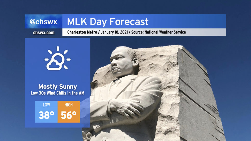
No weather concerns for Monday as we pause to reflect on the life and message of Martin Luther King, Jr. High temperatures will top out in the mid-50s — a click or two under January normals — despite mostly sunny skies with high pressure firmly in place. This year is certainly going to be very different with virtual events due to the ongoing pandemic, but any virtual events being held outdoors will probably have more trouble with Wi-Fi than weather.
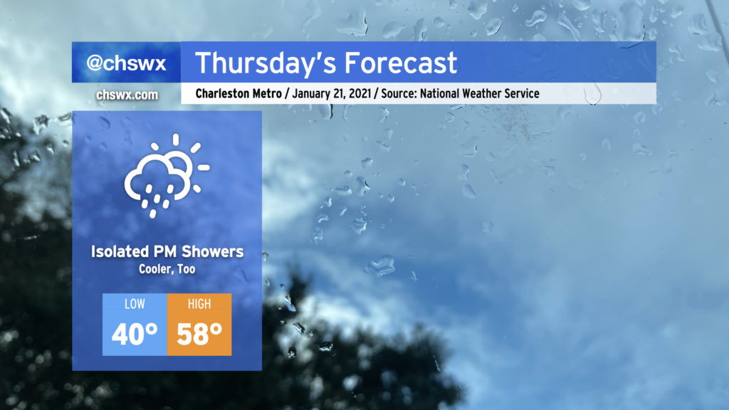
We look to remain rain-free until at least Thursday when low pressure and its associated cold front approach from the west. Ahead of the front, we’ll be in a warming trend, with highs getting into the 60s by Wednesday. I’ll have more on the rest of the work week’s forecast in tomorrow night’s post.
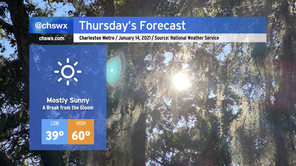
After a stubborn cloud deck kept temperatures significantly lower than expected today, we will finally get these clouds out of here once and for all and enjoy a mostly sunny day on Thursday. Highs will top out around 60° in most spots. It’ll sure feel nice to get this gloomy stuff out of here, that’s for sure.
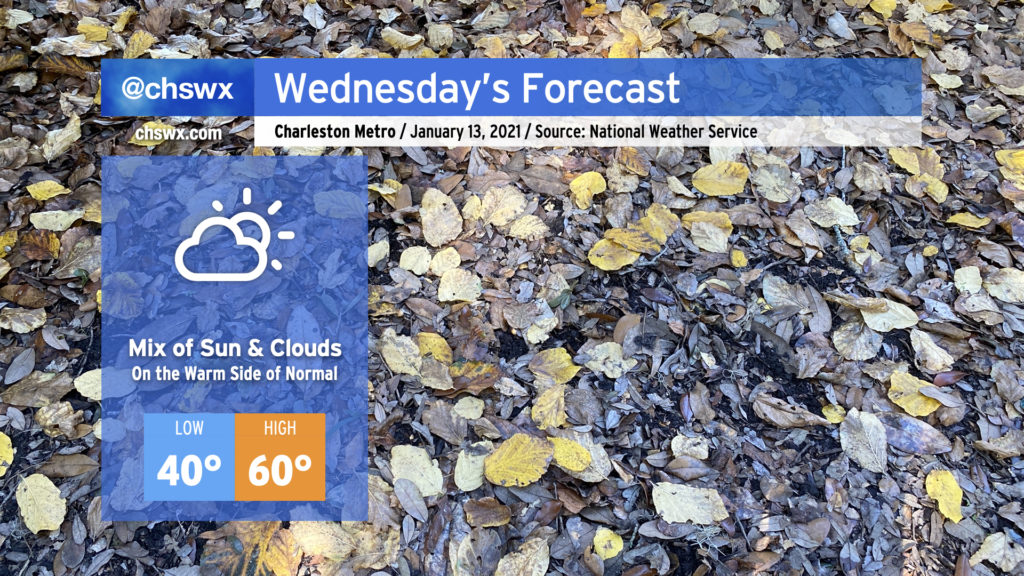
We’ll warm up a bit on Wednesday as a little more sun works into the area with high pressure at the surface. Cloud cover will be reinforced at times by some upper-level energy moving through the area, but despite that, we should touch 60° in the afternoon, which is right on the warm side of a normal high temperature for mid-January.
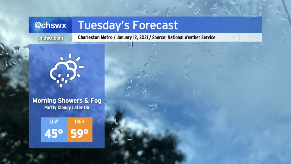
Watch for patches of fog in the morning causing dips in visibility at times. Fog should mix out by 9am, giving way to the aforementioned partly sunny skies.
As low pressure moves eastward along the Gulf coast, we’ll keep the risk of showers and drizzle around through early Tuesday afternoon before high pressure begins to build in and cloud cover slowly breaks. Watch for areas of fog in the morning; be sure to use low beams and be prepared for visibility to drop quickly.
We should see a little sun before Tuesday’s gone, and there will be much more where that comes from as we get into the rest of the week. Temperatures could top out in the upper 50s, but this certainly will be dependent on how quickly the cloud deck can scour out.
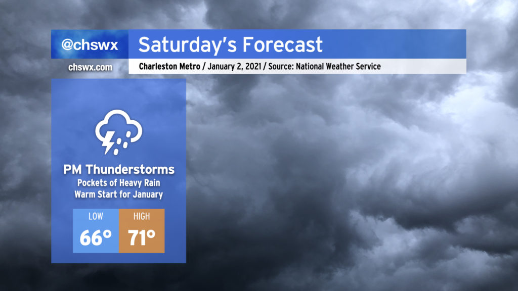
Well, 2021 is definitely getting off to a muggy start. After tying the daily record high of 80° for January 1, we’ll start Saturday in the mid-60s — several degrees above the normal high temperature — as unusually muggy air persists ahead of a cold front. Expect showers and perhaps a thunderstorm or two to develop by afternoon, which will temper highs a bit (but not before reaching the low 70s). Some pockets of heavy rain are possible within stronger thunderstorms, but no severe weather is anticipated and the flood threat remains low. When all is said and done, some spots may have picked up 1-2″ of rainfall.
The front will get a move-on during the day, though, and by Sunday morning should be clearing the area, leaving behind quiet and generally pleasant January weather with slightly above-normal temperatures for the first work week of 2021.
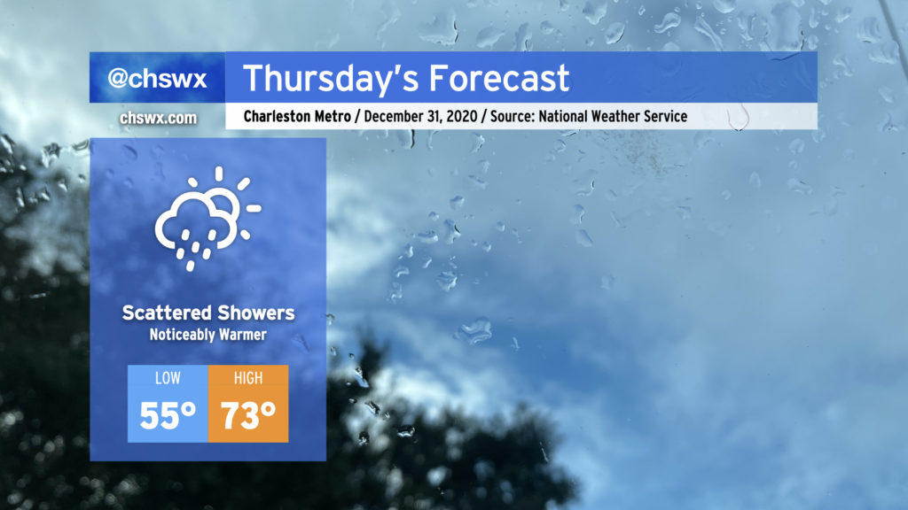
We’ll say goodbye to 2020 with quite a few choice words, warm temperatures, and perhaps a few showers mixed in at times. Showers will be possible at any point during the day Thursday, including up to midnight, so keep rain gear close if you are out and about.
Temperatures will turn noticeably warmer, with highs recovering into the 70s as we enter the warm sector ahead of our next storm system, which will hang around for a few days before clearing the area Sunday.
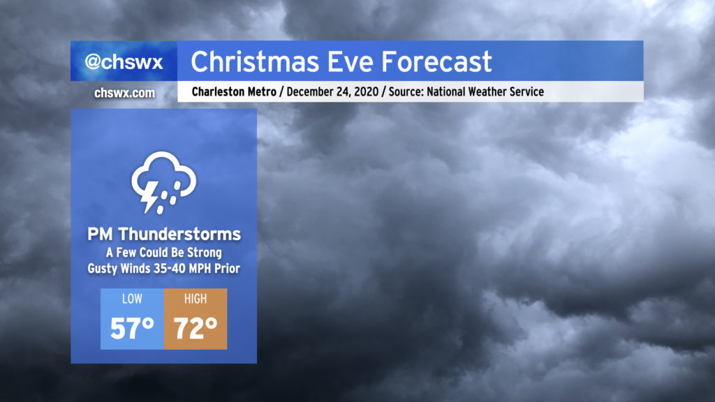
Details are coming into focus around what will be quite a strong storm for the Eastern Seaboard for Christmas Eve. Model guidance is in unanimous agreement for a strong band of showers and thunderstorms ahead of the cold front that could produce occasional damaging wind gusts during the afternoon and early evening hours. The good news is that this activity should get out of here by the time Santa is ready to make his rounds in the Lowcountry.
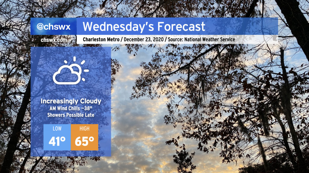
Wednesday will be the last rain-free shopping day before Christmas. Cloud cover will be filling in as the day goes on ahead of what looks to be a fairly potent storm system for Christmas Eve. Temperatures around the area will start out chilly — low 40s, with wind chills around 37-38° possible with a light breeze — before warming into the mid-60s despite the cloud cover. A shower or two can’t be ruled out closer to midnight Wednesday as well.
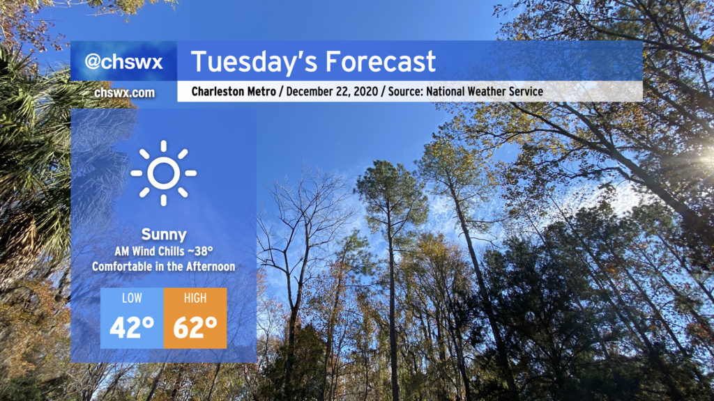
We have a rather gorgeous Tuesday ahead as high pressure moves along to our northeast. Downslope flow will continue, allowing temperatures to warm back into the low 60s for the afternoon after starting out in the low 40s under full sunshine.