Jared Smith founded @chswx on Twitter in 2008 as an experiment in disseminating weather data through social media. In the ensuing decade-and-a-half, @chswx has provided live coverage of tropical cyclones, tornadoes, severe weather, and even a couple bouts of winter weather to the good people of Charleston, SC.
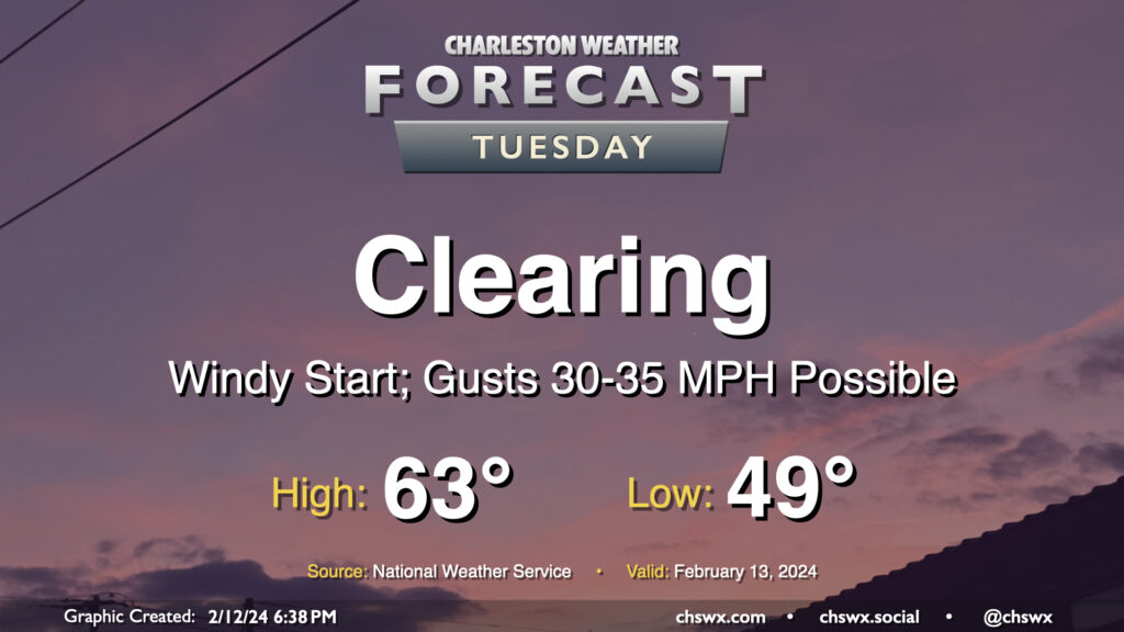
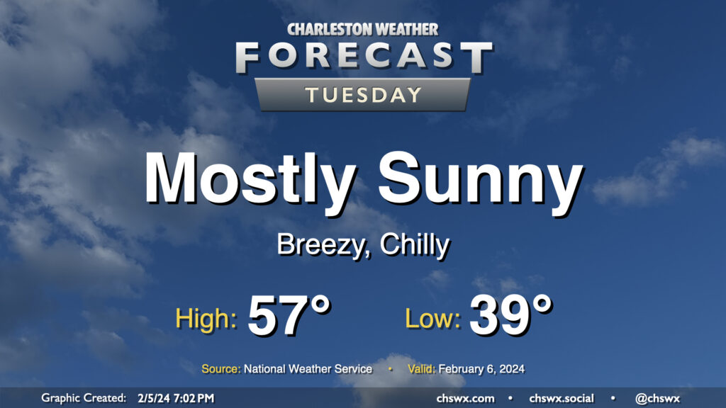
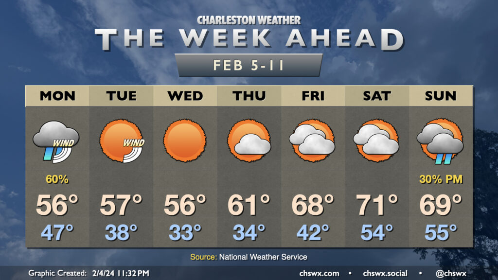
The storm system that’s soaked us on Monday will lift away from the area on Tuesday, clearing us out but also producing a period of gusty winds overnight as high pressure starts to build in from the west. Watch for gusts 30-35 MPH at times, especially on bridges and overpasses, that will affect the area through the morning commute. We should see gusts calm down gradually as the day goes on, thankfully. Clouds will depart and temperatures will warm to the low-to-mid-60s after an upper 40s start, yielding a pleasant and seasonable mid-February day.
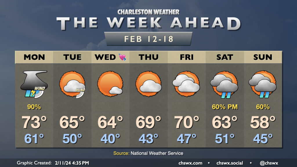
The upcoming week will get off to a fairly stormy start on Monday, but we’ll see things calm down and cool off a little bit for a few days before another storm system affects the area over the weekend.
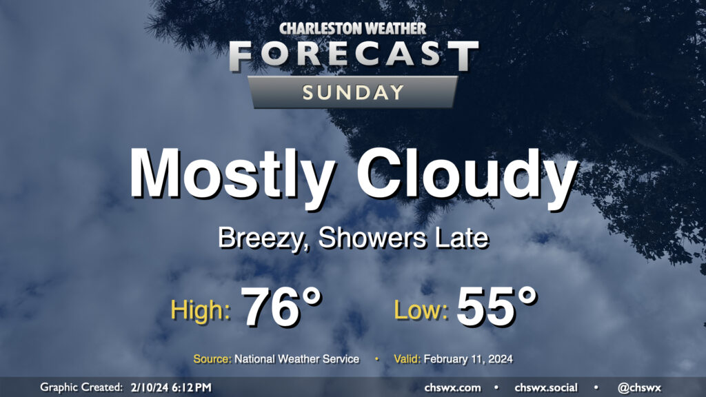
Sunday will be one last warm and largely rain-free day before shower chances arrive in the evening. Temperatures Sunday start in the mid-50s — 10°+ above normal for this point in the year — and head to the mid-70s as warmer and more moist air continues to surge into the area ahead of a storm system approaching from the west. Skies will remain mostly cloudy, though a few breaks in the clouds will still be possible especially in the morning.
By evening, we should start to see some shower activity begin to move in from the west. Guidance increasingly suggests that the best chance for showers Sunday will be found later in the evening and generally inland of 17-A. That being said, it looks like we get much of Sunday in without precipitation; just be ready for some rain as you head to and from any Super Bowl plans you may have.
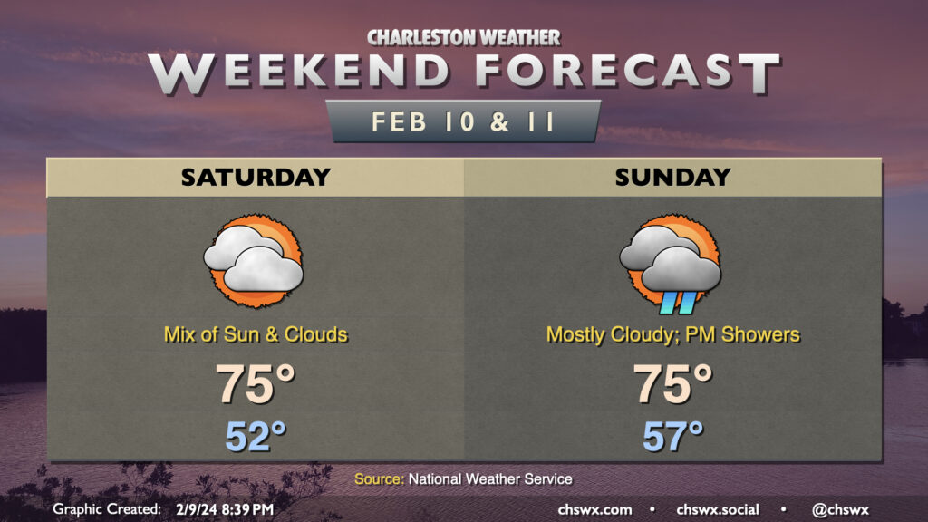
After reaching 72° today, we’ll aim even warmer on Saturday despite persistent cloud cover (don’t worry, the sun will peek through from time to time). We start the day in the low 50s — about 10° warmer than normal for February — before heading solidly into the mid-70s in the afternoon.
Sunday will start even warmer, with lows in the mid-to-upper 50s yielding to highs in the mid-70s in the afternoon. We should get much of the daylight hours in rain-free, but shower chances will be increasing as we get later into the afternoon and especially into the evening. The bulk of this rain falls Monday and could come along with some thunder as well. But let’s not think of Monday if we can help it…enjoy the weekend!
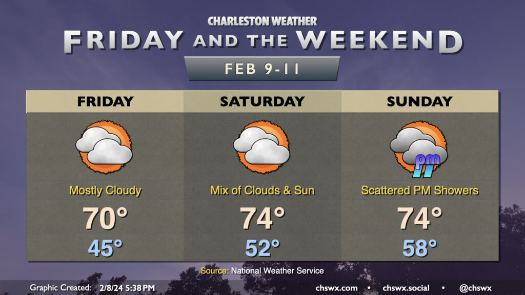
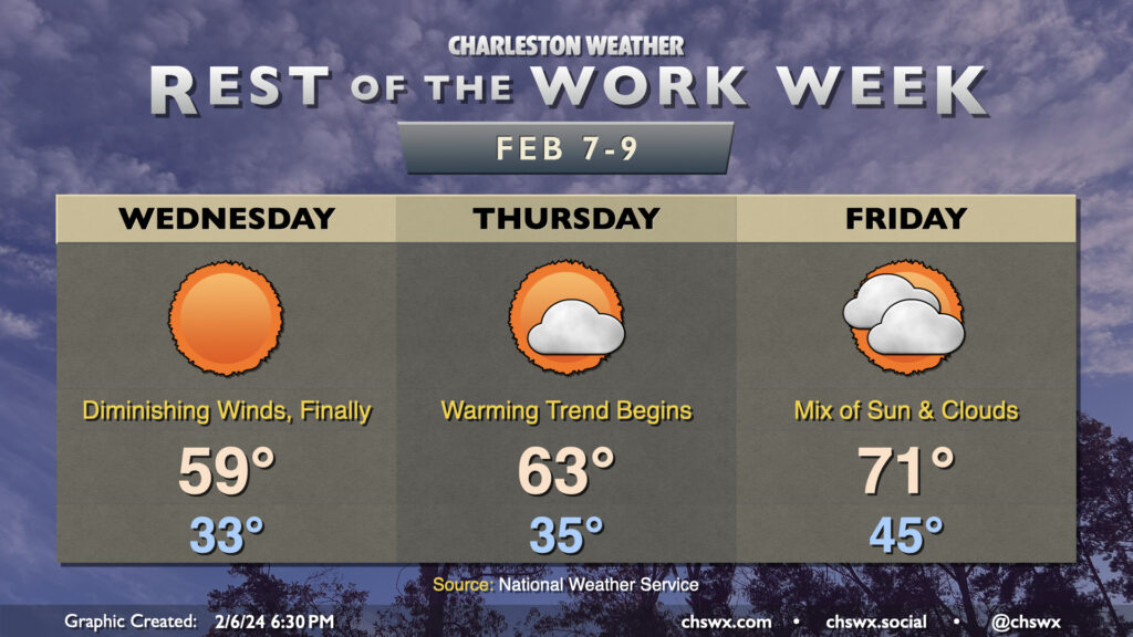
After peaking in the mid-60s on Thursday, temperatures will continue to warm heading into Friday and the weekend despite persistent cloud cover. We start Friday much warmer than the previous several days, with a low temperature in the mid-40s across much of the area. Temperatures will climb to about 70° despite the mostly cloudy skies, several degrees above normal for February 9.
Saturday will be a warmer version of Friday. Cloud cover will persist, with peeks of sun from time to time, but we start the day about 5-7° warmer than we started Friday with lows in the low 50s. Afternoon high temperatures should reach the mid-70s as southerly flow continues to bring warmer air into the area.
Sunday starts even warmer, with lows barely clearing below 60° in the morning, well above normal for this point in the year. Temperatures will warm back to the mid-70s in the afternoon. We stay rain-free for the first part of Sunday, but we should start to see some shower activity work into the area later in the afternoon into the evening as a storm system affects the area; much of this rain falls Monday, though, before temperatures turn back toward normal for Tuesday.
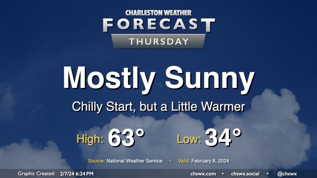
We have another chilly start ahead on Thursday as lows drop to the low-to-mid-30s across much of the metro one more time as high pressure moves overhead. We’ll see mostly sunny skies for a fair bit of Thursday before high pressure begins to slip further offshore and cloud cover starts to increase later in the day. Temperatures will show signs of a subtle warming trend as we top out in the low to mid-60s Thursday afternoon, a few degrees warmer than we have been the past couple days. Overall, it’ll end up being a fairly climatologically typical February day after the cooler-than-normal start.
We’re just about done with the chillier weather for a few days, but first, Wednesday awaits. Lows on Wednesday should flirt with freezing, and continued breezy northerly winds will help it feel like the mid-20s. You’ll want to dress in layers to start, though you should be able to shed a layer or two later in the day as temperatures approach 60° and winds, mercifully, continue to die down.
There is a risk for some minor coastal flooding with the 5:33am high tide, though I wouldn’t be surprised to see the forecast of 7.3-7.5′ revised downward given the past two mornings have come in lower than expected. (Watch this be the one time the tide does exactly what the evening blog post says it will.) In any event, any flooding issues should be resolved before the bulk of the commute, but if you are an early commuter and downtown is in your plans, keep an eye out for possible flooded or closed roads.
Showers have ended and cloud cover will diminish overnight, yielding a sunny Tuesday — in stark contrast to the dreariness that was Monday. However, high pressure trying to build in from the west will help to keep the gradient pinched as low pressure remains offshore, keeping north to northeast winds elevated throughout the day. Temperatures will start in the upper 30s, but the wind chill will make it feel more like 30°, so dress appropriately in the morning. We’ll warm only to the mid-to-upper 50s despite the sunshine, too.
The other issue for Tuesday will be the risk for some minor to moderate coastal flooding very early Tuesday morning. High tide around 4:32am is forecast to reach between 7.5-7.7′. While we fell just short of coastal flood criteria Monday morning, it certainly seems more likely that we’ll achieve flood stage on Tuesday. So, if you have early travels that take you downtown, be ready to reroute around flooded roads.
The first full week of February gets off to a stormy start as strong low pressure affects the area, particularly in the morning. We’re looking for the potential for some coastal flooding early in the day, and this combined with heavy rainfall could cause flooding problems across downtown Charleston, especially around high tide a little after 3:30am. A Coastal Flood Advisory is in effect from 2-6am for the salt water flooding threat; if that heavy rain does coincide, additional flood advisories for land-based areas would be needed. Rain does slowly taper off as Monday goes along, but we stay on the chilly side as breezy northeasterly winds blow in. This keeps highs capped to the mid-50s after an upper 40s start.
Our run of quiet weather comes to a brief pause starting Sunday as a storm system approaches the area. We’ll see cloud cover head up throughout the day, and showers will be increasingly possible as we get into the later afternoon and evening hours. Expect temperatures to start in the upper 30s to around 40°, with highs topping out around 60°. Northeasterly winds around the storm system will be increasing as the day goes on, and it could be a bit gusty by afternoon, so keep that in mind as well as you head out and about.