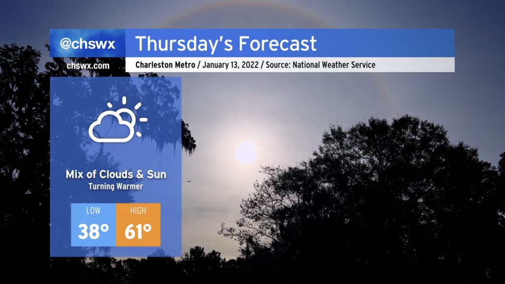
Thursday will run several degrees warmer than what we saw today, bringing a brief return to the 60s as winds turn a little more out of the west. A weak trough looks to stir up some cloud cover particularly later in the day. While a shower can’t totally be ruled out, it is highly unlikely that we’ll see any rain.
We continue to watch trends for a Carolina winter storm this weekend. So far, confidence continues to increase in precipitation remaining all liquid across the Charleston metro area, and that is the going NWS forecast as a result. There are still many details to be worked out over the next few days as we start to get into range of the higher-resolution mesoscale models, so stay tuned for updates as the weekend draws near.
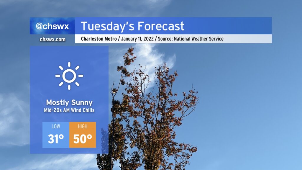
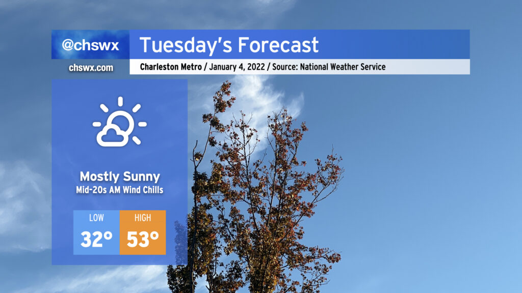
We’ve got another chilly Tuesday in store as lows drop below freezing away from the coast tonight. Expect temperatures around 30-31° to begin the day in the Charleston metro area, with upper 20s further inland. Winds will make it feel like the mid-20s, though, so be dressed with layers accordingly.
Despite full sunshine, high temperatures will only top out around 50° in the afternoon. This runs about 10° below normal for this point in January.
Otherwise, no other major weather hazards are expected. Enjoy your Tuesday.
Tuesday’s weather, in a word: Quieter. It will also be much less windy than today was, though that’s not a hard bar to reach either. We’ll start the day around freezing in the metro area, with upper 20s further inland, while places near the coast will stay above freezing. Mostly sunny skies will be the rule, with cloud cover increasing a bit as the day goes on.
The main weather hazard for Tuesday will be the potential for moderate coastal flooding with the morning high tide. The forecast is for water levels to reach 7.8′ around 9am. This will certainly be high enough to close several roads in downtown Charleston, including the Highway 61 off-ramp from the Ashley River southbound bridge as well as parts of Lockwood Drive. Be ready to use alternate routes if downtown is in your commuting plans.
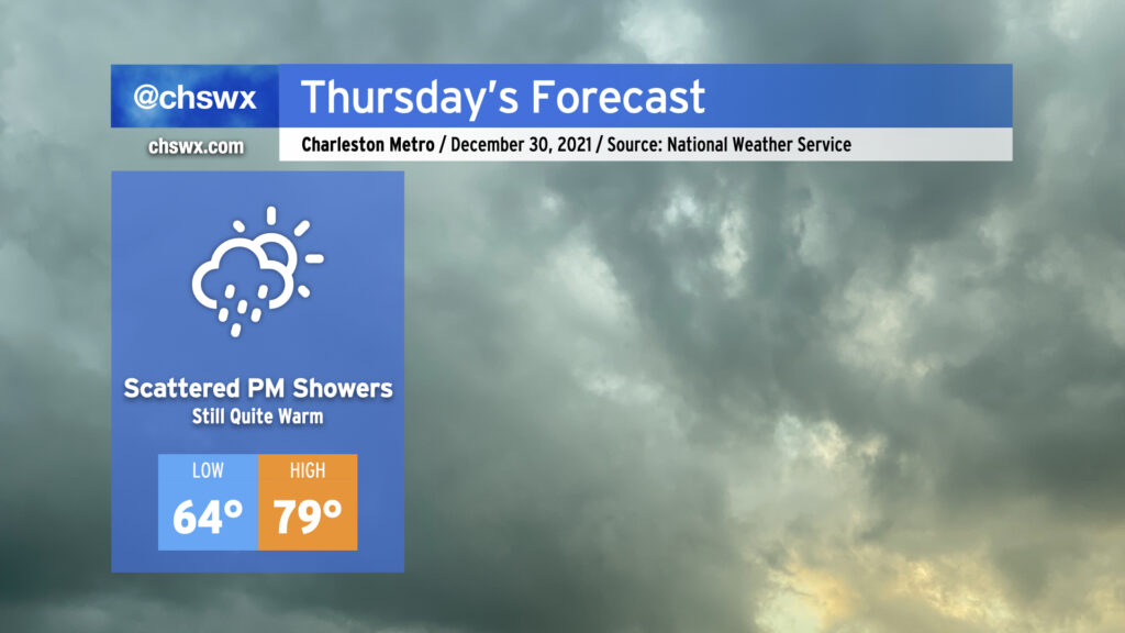
Our blowtorchy end to 2021 continues on Thursday despite increased cloud cover and even the specter of a few showers moving into the area. Highs could once again get close to the 80° mark in the afternoon. Thursday’s record high of 82° will probably stay safe, but it’ll be close.
Some showers look to move into the area in the mid-afternoon hours and persist through early evening as a front gets close to the area (but doesn’t get through). There’s a chance that we could even see some rumbles of thunder and brief periods of heavy rainfall if the convection-allowing models are sniffing things out correctly. The risk for severe weather appears extremely low, but we’ll need to keep an eye on how things evolve to our northwest. All that being said, keep rain gear handy if you’ve got outdoor plans tomorrow afternoon, but forget about any winter clothing until Monday.
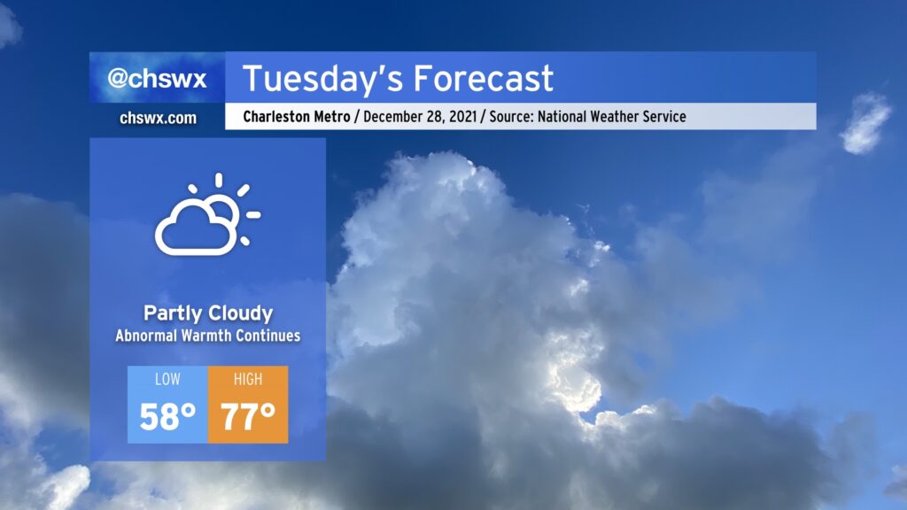
Atlantic high pressure will keep its hold across the area, and as a result, we’ll stay quite warm continuing into Tuesday. Cloud cover will act as a bit of a governor on just how warm we get, but we should expect another day of upper 70s across much of the area. It won’t be record heat, though: the record high for Tuesday is 82°, last set in 2015, which appears safe (unlike today’s record high of 78°, which we tied).
Cooler weather is still several days away, but it does look like we’ll begin to see things cool off as we kick off the first work week of 2022. Stay tuned…
A reinforcing cold front will drop through the area tonight, bringing us mostly clear skies overnight and another round of cool air that should help temperatures drop to near freezing in the metro area, and likely right at freezing inland. (We’ll stay a little warmer at the coast.) Make sure pets and plants are in a warm, protected place tonight.
After Thursday, temperatures will warm back into the 60s for Friday and the low 70s for Christmas. We’ll keep fair weather in the forecast through early next week with continued warmer-than-normal temperatures as we approach the end of 2021.
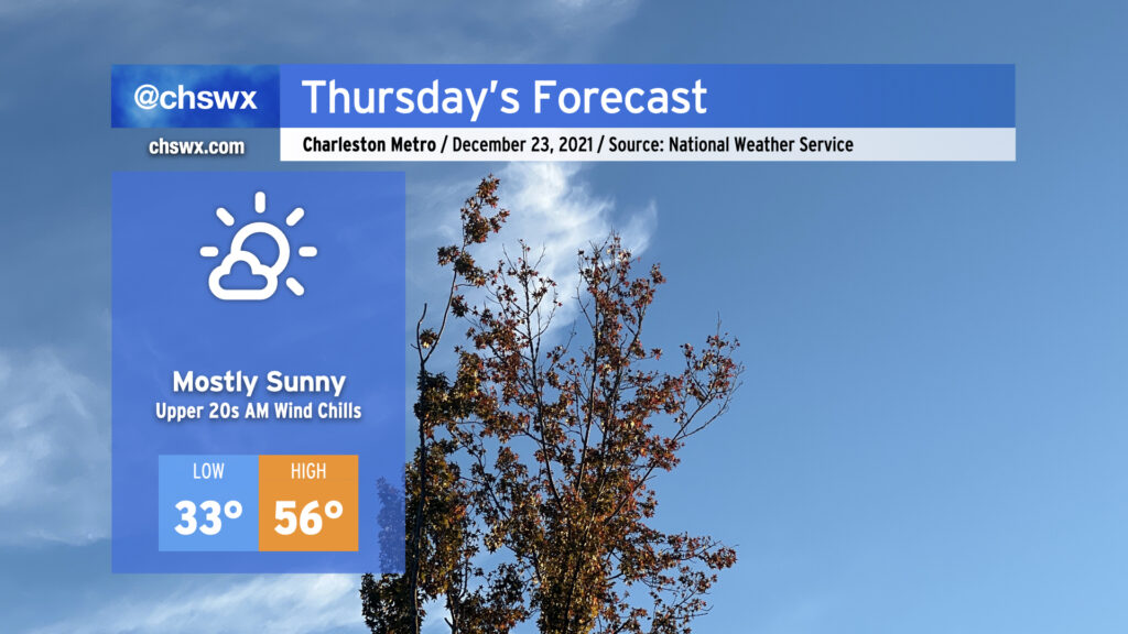
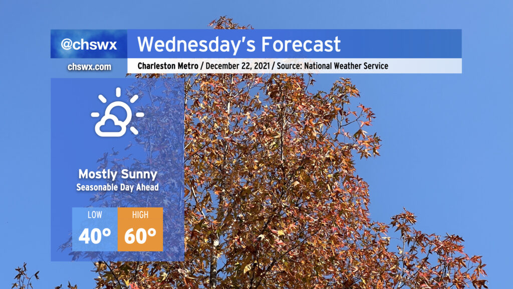
For as cruddy as Tuesday was, Wednesday looks significantly nicer. We’ll keep a late-December feel to the air with highs only getting to about 60° in the afternoon under mostly sunny skies as high pressure builds in from the west. This will begin another rain-free stretch for our area into early next week. High pressure moves to our north and shifts winds around to the northeast for Thursday, keeping us in the 50s despite almost full sunshine. After high pressure moves offshore Friday, we’ll warm up into the 70s for a few days starting on Christmas Day. All in all, looking good for any last-minute gift acquisition.
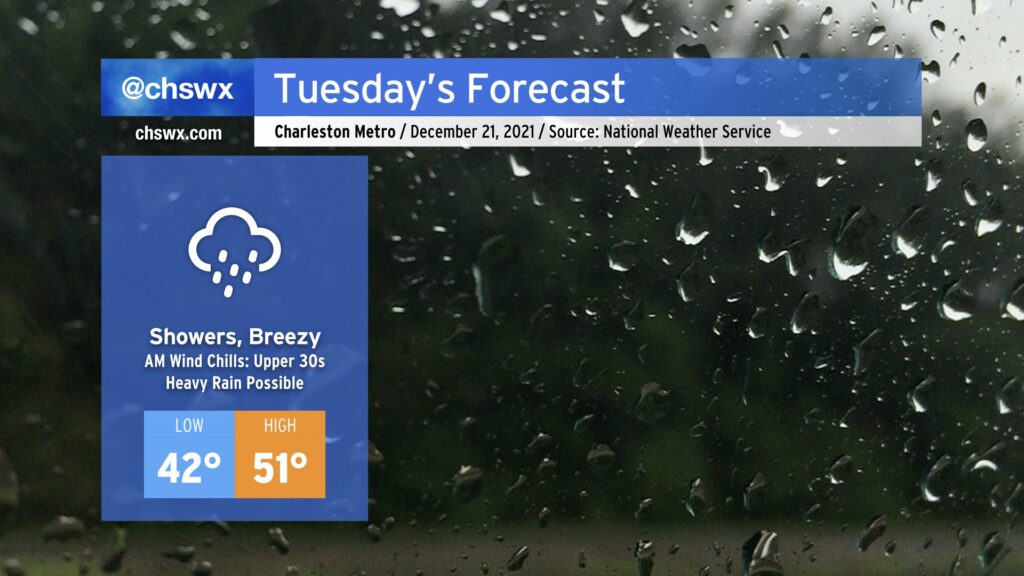
Get ready for an unsettled and chilly Tuesday with rain and breezy northeast winds for much of the day. Rain could start as early as 1-2am, but will peak during the day with up to 1-1.5” possible in spots as low pressure moves northeastward parallel to the coast.
Chilly high pressure will remain wedged into the area through tomorrow, and the interaction between it and the low pressure system will help kick up northeasterly winds, especially at the coast. We could even see some minor salt water flooding with the 9:02am high tide as the wind could push the tidal anomaly close to 7’.
Elsewhere, this wind will make temperatures feel even cooler than they already will be, with wind chills in the 30s possible well into mid-morning. Winds notwithstanding, the forecast high of 51° may very well be optimistic especially given rain falling into the wedge, helping to reinforce the cold air dam across the area.
The good news is that our weather improves beginning Wednesday, and we’ll be on our way to a warming trend with much more sunshine heading into and beyond Christmas.
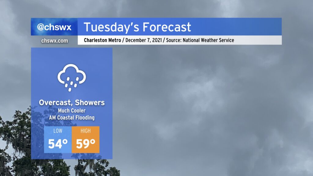
We’re turning much cooler for Tuesday as high pressure wedges into the area from the north in the wake of a cold front which will pass through overnight, perhaps bringing a few showers with it as it moves by. Southwest winds in the low levels will lift moisture over the high pressure wedge, producing ample cloud cover with occasional light showers possible throughout the day. This will act as a strong governor on temperatures, which may not break 60° in the afternoon.
We should see another round of minor coastal flooding around the 10:18 AM high tide Tuesday morning. Be ready for salt water on a few area roads, especially around Gadsden Creek (Fishburne/Hagood corridors near the Citadel and the Joe). Widespread coastal flood impacts are not expected.
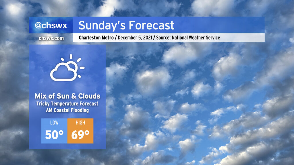
After a foggy start, the temperature forecast could be a bit tricky on Sunday as we see how entrenched a wedge of high pressure from the north can get across the area. If the wedge can build in and hold up (additional cloud cover would help), temperatures may not get out of the 60s. If the wedge comes out on the weaker side and erodes a bit, there’s a chance we may once again reach the low to mid-70s in spots. Recent model guidance has trended back warmer from earlier today, but the wedge can sometimes be stronger than what guidance will depict. The good news is that the forecast remains rain-free regardless. Just be ready to make quick wardrobe adjustments if needed.
There will once again be a risk for shallow coastal flooding around the 8:26 AM high tide. Water levels should reach 7.3-7.5′ in the harbor, perhaps on the higher end of this depending on the extent and strength of northeasterly winds. Be ready for a few road closures in downtown Charleston tomorrow morning, but widespread problems are currently not expected.